Area Overview for W6 8PY
Photos of W6 8PY
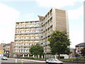
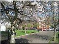
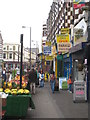
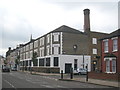
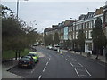
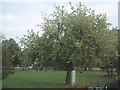

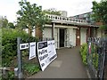
100 photos from this area
Area Information
Key information about the W6 8PY including its size, population, and administrative classification.
- Area Type
- Postcode
- Area Size
- 3634 m²
- Population
- 1523
- Population Density
- 15605 people/km²
House Prices in W6 8PY
29
Properties
£782,250
Average Sold Price
£110,000
Lowest Price
£1,360,000
Highest Price
Showing 29 properties
| Address | Type | Beds | Baths | Last Sale Price | Last Sale Date | |
|---|---|---|---|---|---|---|
| 35 Brecon Road, London, W6 8PY | Terraced | 4 | 3 | £1,360,000 | Apr 2025 | |
| 25 Brecon Road, London, W6 8PY | Terraced | 4 | 2 | £1,105,000 | Mar 2025 | |
| 31 Brecon Road, London, W6 8PY | Terraced | 3 | 2 | £1,350,000 | Jan 2025 | |
| 1A Brecon Road, London, W6 8PY | Semi-detached | 3 | 2 | £860,000 | Feb 2021 | |
| 15 Brecon Road, London, W6 8PY | Terraced | 4 | 2 | £980,000 | Dec 2018 | |
| 39 Brecon Road, London, W6 8PY | Terraced | 5 | 2 | £768,000 | Jul 2017 | |
| 13 Brecon Road, London, W6 8PY | house | 4 | - | £1,075,000 | Aug 2016 | |
| 17 Brecon Road, London, W6 8PY | Terraced | 3 | - | £1,250,000 | Jun 2014 | |
| 7 Brecon Road, London, W6 8PY | Terraced | - | - | £600,000 | Jan 2008 | |
| 11 Brecon Road, London, W6 8PY | Terraced | 4 | 2 | £486,000 | Mar 2007 |
Page 1 of 3
Energy Efficiency in W6 8PY
Amenities
Schools
| Rank | School | Type | Entry gender | Ages |
|---|
Explore more schools in this area
Go to Schools tabDemographics
Household Size
Family (3-5 people)
most common
Accommodation Type
Flats
most common
Tenure
32
majority
Ethnic Group
White
most common
Religion
N/A
most common
Household Composition
N/A
most common
Age
47
median
Adults (30-64 years)
most common
Household Deprivation
N/A
with no deprivation
NS-SEC
37
in Lower managerial occupations
Explore more demographic insights in this area
Go to Demographics tabPlanning
Planning Constraints
- Flood RiskPremium
- Ramsar Wetland SitesPremium
- Area of Outstanding Natural BeautyPremium
- Protected Nature ReservePremium
- Protected WoodlandPremium