Area Overview for W6 8EL
Photos of W6 8EL
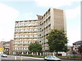

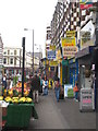
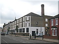
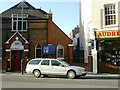
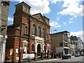

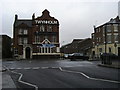
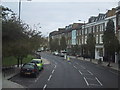
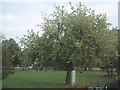

100 photos from this area
Area Information
Key information about the W6 8EL including its size, population, and administrative classification.
- Area Type
- Postcode
- Area Size
- 9464 m²
- Population
- 1523
- Population Density
- 15605 people/km²
House Prices in W6 8EL
84
Properties
£301,913
Average Sold Price
£98,500
Lowest Price
£680,000
Highest Price
Showing 84 properties
| Address | Type | Beds | Baths | Last Sale Price | Last Sale Date | |
|---|---|---|---|---|---|---|
| 12 Crefeld Close, London, W6 8EL | Flat | - | - | £310,000 | Dec 2024 | |
| 41 Crefeld Close, London, W6 8EL | Flat | - | - | £280,000 | Feb 2024 | |
| 30 Crefeld Close, London, W6 8EL | Detached | 4 | 2 | £680,000 | Aug 2023 | |
| 25 Crefeld Close, London, W6 8EL | Flat | - | - | £295,000 | Jun 2022 | |
| 57 Crefeld Close, London, W6 8EL | Maisonette | 3 | 2 | £480,000 | Aug 2018 | |
| 48 Crefeld Close, London, W6 8EL | Maisonette | - | - | £530,000 | Jun 2018 | |
| 56 Crefeld Close, London, W6 8EL | Maisonette | - | - | £550,000 | Mar 2018 | |
| 43 Crefeld Close, London, W6 8EL | Flat | 1 | 1 | £472,000 | Jun 2015 | |
| 82 Crefeld Close, London, W6 8EL | Flat | 5 | 2 | £315,000 | Mar 2014 | |
| 74 Crefeld Close, London, W6 8EL | house | 3 | - | £455,000 | May 2012 |
Page 1 of 9
Energy Efficiency in W6 8EL
Amenities
Schools
| Rank | School | Type | Entry gender | Ages |
|---|
Explore more schools in this area
Go to Schools tabDemographics
Household Size
Family (3-5 people)
most common
Accommodation Type
Flats
most common
Tenure
32
majority
Ethnic Group
White
most common
Religion
N/A
most common
Household Composition
N/A
most common
Age
47
median
Adults (30-64 years)
most common
Household Deprivation
N/A
with no deprivation
NS-SEC
37
in Lower managerial occupations
Explore more demographic insights in this area
Go to Demographics tabPlanning
Planning Constraints
- Flood RiskPremium
- Ramsar Wetland SitesPremium
- Area of Outstanding Natural BeautyPremium
- Protected Nature ReservePremium
- Protected WoodlandPremium