Area Overview for W6 0NE
Photos of W6 0NE
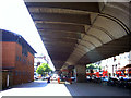
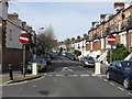
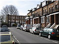
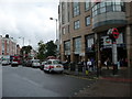
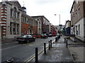
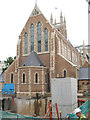
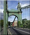


100 photos from this area
Area Information
Key information about the W6 0NE including its size, population, and administrative classification.
- Area Type
- Postcode
- Area Size
- 1.1 hectares
- Population
- 2090
- Population Density
- 7295 people/km²
House Prices in W6 0NE
73
Properties
£3,697,889
Average Sold Price
£1,281,000
Lowest Price
£5,350,000
Highest Price
Showing 73 properties
| Address | Type | Beds | Baths | Last Sale Price | Last Sale Date | |
|---|---|---|---|---|---|---|
| 59 Hammersmith Grove, London, W6 0NE | house | - | - | £5,350,000 | Jun 2021 | |
| 43 Hammersmith Grove, London, W6 0NE | house | 4 | 3 | £4,500,000 | Dec 2018 | |
| 55 Hammersmith Grove, London, W6 0NE | house | - | - | £4,250,000 | Oct 2014 | |
| 41 Hammersmith Grove, London, W6 0NE | Semi-detached | 5 | 5 | £4,350,000 | Mar 2014 | |
| 39 Hammersmith Grove, London, W6 0NE | Detached | 6 | 4 | £3,900,000 | Oct 2013 | |
| 47 Hammersmith Grove, London, W6 0NE | house | 3 | 1 | £5,000,000 | Apr 2013 | |
| 53 Hammersmith Grove, London, W6 0NE | house | - | - | £1,950,000 | Jan 2010 | |
| 57 Hammersmith Grove, London, W6 0NE | Semi-detached | - | - | £2,700,000 | Sep 2008 | |
| 61 Hammersmith Grove, London, W6 0NE | Semi-detached | - | - | £1,281,000 | Jul 2004 | |
| 49 Hammersmith Grove, London, W6 0NE | Semi-detached | 6 | 4 | - | - |
Page 1 of 8
Energy Efficiency in W6 0NE
Amenities
Schools
| Rank | School | Type | Entry gender | Ages |
|---|
Explore more schools in this area
Go to Schools tabDemographics
Household Size
One person
most common
Accommodation Type
Flats
most common
Tenure
33
majority
Ethnic Group
White
most common
Religion
N/A
most common
Household Composition
N/A
most common
Age
47
median
Adults (30-64 years)
most common
Household Deprivation
N/A
with no deprivation
NS-SEC
50
in Lower managerial occupations
Explore more demographic insights in this area
Go to Demographics tabPlanning
Planning Constraints
- Flood RiskPremium
- Ramsar Wetland SitesPremium
- Area of Outstanding Natural BeautyPremium
- Protected Nature ReservePremium
- Protected WoodlandPremium