Area Overview for W5 3NY
Photos of W5 3NY
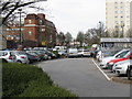

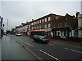
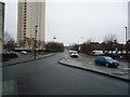
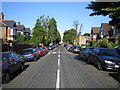
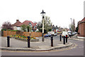
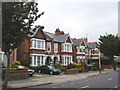
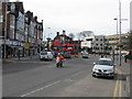
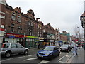
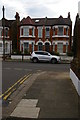
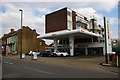

100 photos from this area
Area Information
Key information about the W5 3NY including its size, population, and administrative classification.
- Area Type
- Postcode
- Area Size
- 1.4 hectares
- Population
- 1584
- Population Density
- 9894 people/km²
House Prices in W5 3NY
68
Properties
£403,287
Average Sold Price
£800
Lowest Price
£840,000
Highest Price
Showing 68 properties
| Address | Type | Beds | Baths | Last Sale Price | Last Sale Date | |
|---|---|---|---|---|---|---|
| 9A Woodgrange Avenue, Ealing, W5 3NY | Flat | - | - | £500,000 | Jun 2025 | |
| 1A Woodgrange Avenue, Ealing, W5 3NY | Flat | 2 | 2 | £840,000 | Apr 2025 | |
| 23A Woodgrange Avenue, Ealing, W5 3NY | Maisonette | - | - | £775,000 | Jun 2021 | |
| 19 Woodgrange Avenue, Ealing, W5 3NY | Flat | 3 | 2 | £705,000 | Jun 2021 | |
| 23 Woodgrange Avenue, Ealing, W5 3NY | Flat | - | - | £819,999 | Sep 2019 | |
| 26 Woodgrange Avenue, Ealing, W5 3NY | Flat | 4 | - | £130,000 | Feb 2017 | |
| 22 Woodgrange Avenue, Ealing, W5 3NY | Flat | 5 | 2 | £685,000 | Mar 2016 | |
| 18 Woodgrange Avenue, Ealing, W5 3NY | Flat | - | - | £699,950 | Mar 2015 | |
| 14A Woodgrange Avenue, Ealing, W5 3NY | Flat | 3 | - | £160,000 | Apr 2014 | |
| 15 Woodgrange Avenue, Ealing, W5 3NY | Flat | - | - | £429,950 | Oct 2013 |
Page 1 of 7
Energy Efficiency in W5 3NY
Amenities
Schools
| Rank | School | Type | Entry gender | Ages |
|---|
Explore more schools in this area
Go to Schools tabDemographics
Household Size
Family (3-5 people)
most common
Accommodation Type
Flats
most common
Tenure
41
majority
Ethnic Group
White
most common
Religion
N/A
most common
Household Composition
N/A
most common
Age
47
median
Adults (30-64 years)
most common
Household Deprivation
N/A
with no deprivation
NS-SEC
50
in Lower managerial occupations
Explore more demographic insights in this area
Go to Demographics tabPlanning
Planning Constraints
- Flood RiskPremium
- Ramsar Wetland SitesPremium
- Area of Outstanding Natural BeautyPremium
- Protected Nature ReservePremium
- Protected WoodlandPremium