Area Overview for W5 3AD
Photos of W5 3AD
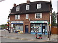
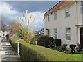
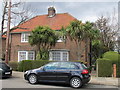

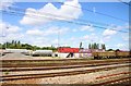
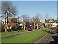
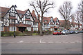
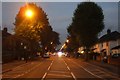
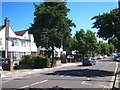
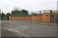
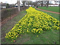
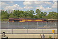
100 photos from this area
Area Information
Key information about the W5 3AD including its size, population, and administrative classification.
- Area Type
- Postcode
- Area Size
- 1.9 hectares
- Population
- 1611
- Population Density
- 6009 people/km²
House Prices in W5 3AD
21
Properties
£1,104,363
Average Sold Price
£355,000
Lowest Price
£1,575,000
Highest Price
Showing 21 properties
| Address | Type | Beds | Baths | Last Sale Price | Last Sale Date | |
|---|---|---|---|---|---|---|
| 64 Corringway, Ealing, W5 3AD | Retail | 6 | 2 | £1,350,000 | Feb 2022 | |
| 48 Corringway, Ealing, W5 3AD | Detached | 6 | 1 | £1,575,000 | Jul 2019 | |
| 78 Corringway, Ealing, W5 3AD | Detached | 5 | 2 | £1,490,000 | May 2018 | |
| 54 Corringway, Ealing, W5 3AD | house | - | - | £941,635 | Sep 2017 | |
| 50 Corringway, Ealing, W5 3AD | Detached | 5 | 3 | £1,410,000 | Aug 2017 | |
| 52 Corringway, Ealing, W5 3AD | house | - | - | £1,550,000 | May 2017 | |
| 66 Corringway, Ealing, W5 3AD | Detached | 5 | 3 | £1,225,000 | Mar 2017 | |
| 70 Corringway, Ealing, W5 3AD | Detached | 5 | 5 | £800,000 | Jul 2012 | |
| 44 Corringway, Ealing, W5 3AD | Detached | 6 | 4 | £1,295,000 | May 2012 | |
| 60 Corringway, Ealing, W5 3AD | Detached | 4 | 2 | £1,150,000 | Nov 2007 |
Page 1 of 3
Energy Efficiency in W5 3AD
Amenities
Schools
| Rank | School | Type | Entry gender | Ages |
|---|
Explore more schools in this area
Go to Schools tabDemographics
Household Size
Family (3-5 people)
most common
Accommodation Type
Houses
most common
Tenure
48
majority
Ethnic Group
asian_total
most common
Religion
N/A
most common
Household Composition
N/A
most common
Age
47
median
Adults (30-64 years)
most common
Household Deprivation
N/A
with no deprivation
NS-SEC
49
in Lower managerial occupations
Explore more demographic insights in this area
Go to Demographics tabPlanning
Planning Constraints
- Flood RiskPremium
- Ramsar Wetland SitesPremium
- Area of Outstanding Natural BeautyPremium
- Protected Nature ReservePremium
- Protected WoodlandPremium