Area Overview for W5 1RT
Photos of W5 1RT
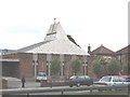
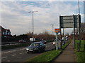
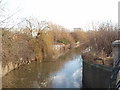
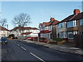

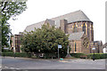
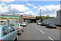
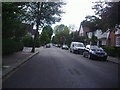
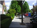
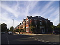

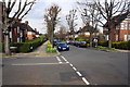
57 photos from this area
Area Information
Key information about the W5 1RT including its size, population, and administrative classification.
- Area Type
- Postcode
- Area Size
- 1.1 hectares
- Population
- 1683
- Population Density
- 6078 people/km²
House Prices in W5 1RT
41
Properties
£349,065
Average Sold Price
£116,000
Lowest Price
£880,000
Highest Price
Showing 41 properties
| Address | Type | Beds | Baths | Last Sale Price | Last Sale Date | |
|---|---|---|---|---|---|---|
| 35 Glencairn Drive, Ealing, W5 1RT | Semi-detached | 3 | 2 | £880,000 | Feb 2025 | |
| 7 Glencairn Drive, Ealing, W5 1RT | Flat | 1 | - | £280,000 | Apr 2014 | |
| 10 Glencairn Drive, Ealing, W5 1RT | house | - | - | £638,000 | May 2013 | |
| 25 Glencairn Drive, Ealing, W5 1RT | house | 3 | - | £465,000 | Dec 2011 | |
| 29 Glencairn Drive, Ealing, W5 1RT | house | - | - | £465,000 | May 2010 | |
| 36 Glencairn Drive, Ealing, W5 1RT | Semi-detached | - | - | £550,000 | Mar 2010 | |
| 24 Glencairn Drive, Ealing, W5 1RT | house | 4 | 1 | £439,000 | Nov 2009 | |
| 9A Glencairn Drive, Ealing, W5 1RT | Flat | - | - | £210,000 | Oct 2007 | |
| 6 Glencairn Drive, Ealing, W5 1RT | Semi-detached | - | - | £460,000 | Feb 2007 | |
| 13 Glencairn Drive, Ealing, W5 1RT | house | - | - | £530,000 | Jun 2006 |
Page 1 of 5
Energy Efficiency in W5 1RT
Amenities
Schools
| Rank | School | Type | Entry gender | Ages |
|---|
Explore more schools in this area
Go to Schools tabDemographics
Household Size
Family (3-5 people)
most common
Accommodation Type
Houses
most common
Tenure
73
majority
Ethnic Group
White
most common
Religion
N/A
most common
Household Composition
N/A
most common
Age
47
median
Adults (30-64 years)
most common
Household Deprivation
N/A
with no deprivation
NS-SEC
55
in Lower managerial occupations
Explore more demographic insights in this area
Go to Demographics tabPlanning
Planning Constraints
- Flood RiskPremium
- Ramsar Wetland SitesPremium
- Area of Outstanding Natural BeautyPremium
- Protected Nature ReservePremium
- Protected WoodlandPremium