Area Overview for W5 1JY
Photos of W5 1JY
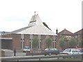
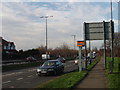
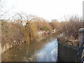
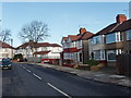

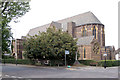
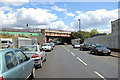
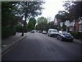
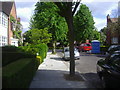
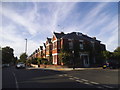

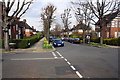
57 photos from this area
Area Information
Key information about the W5 1JY including its size, population, and administrative classification.
- Area Type
- Postcode
- Area Size
- 8797 m²
- Population
- 1492
- Population Density
- 5902 people/km²
House Prices in W5 1JY
23
Properties
£692,925
Average Sold Price
£247,000
Lowest Price
£1,240,000
Highest Price
Showing 23 properties
| Address | Type | Beds | Baths | Last Sale Price | Last Sale Date | |
|---|---|---|---|---|---|---|
| 23 Ainsdale Road, Ealing, W5 1JY | Semi-detached | 3 | 3 | £1,165,000 | Jul 2022 | |
| 31 Ainsdale Road, Ealing, W5 1JY | house | - | - | £1,240,000 | Jan 2022 | |
| 29 Ainsdale Road, Ealing, W5 1JY | house | - | - | £1,190,000 | Jun 2021 | |
| 39 Ainsdale Road, Ealing, W5 1JY | house | - | - | £916,000 | Mar 2021 | |
| 37 Ainsdale Road, Ealing, W5 1JY | house | 3 | 1 | £830,000 | Jan 2017 | |
| 21 Ainsdale Road, Ealing, W5 1JY | house | - | - | £895,000 | Dec 2013 | |
| 19 Ainsdale Road, Ealing, W5 1JY | house | - | - | £725,000 | Jun 2013 | |
| 43 Ainsdale Road, Ealing, W5 1JY | house | - | - | £785,000 | Jun 2011 | |
| 1 Ainsdale Road, Ealing, W5 1JY | Semi-detached | 5 | 2 | £445,000 | Mar 2006 | |
| 15 Ainsdale Road, Ealing, W5 1JY | Semi-detached | - | - | £310,000 | Jan 2002 |
Page 1 of 3
Energy Efficiency in W5 1JY
Amenities
Schools
| Rank | School | Type | Entry gender | Ages |
|---|
Explore more schools in this area
Go to Schools tabDemographics
Household Size
Family (3-5 people)
most common
Accommodation Type
Houses
most common
Tenure
84
majority
Ethnic Group
White
most common
Religion
N/A
most common
Household Composition
N/A
most common
Age
47
median
Adults (30-64 years)
most common
Household Deprivation
N/A
with no deprivation
NS-SEC
60
in Lower managerial occupations
Explore more demographic insights in this area
Go to Demographics tabPlanning
Planning Constraints
- Flood RiskPremium
- Ramsar Wetland SitesPremium
- Area of Outstanding Natural BeautyPremium
- Protected Nature ReservePremium
- Protected WoodlandPremium