Area Overview for W3 9PS
Photos of W3 9PS
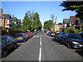
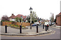
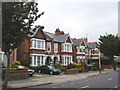
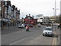
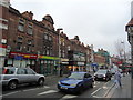
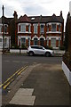
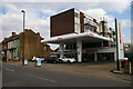

100 photos from this area
Area Information
Key information about the W3 9PS including its size, population, and administrative classification.
- Area Type
- Postcode
- Area Size
- 1.4 hectares
- Population
- 1439
- Population Density
- 4824 people/km²
House Prices in W3 9PS
52
Properties
£1,043,692
Average Sold Price
£385,000
Lowest Price
£2,175,000
Highest Price
Showing 52 properties
| Address | Type | Beds | Baths | Last Sale Price | Last Sale Date | |
|---|---|---|---|---|---|---|
| 55 Creffield Road, Acton, W3 9PS | Semi-detached | 5 | 3 | £2,175,000 | Aug 2025 | |
| 80 Creffield Road, Acton, W3 9PS | Semi-detached | 6 | 1 | £1,475,000 | Aug 2023 | |
| 79A Creffield Road, Acton, W3 9PS | Flat | 2 | 2 | £1,560,000 | Jul 2016 | |
| 71 Creffield Road, Acton, W3 9PS | house | 5 | - | £1,325,000 | Feb 2013 | |
| 61 Creffield Road, Acton, W3 9PS | house | 5 | - | £1,000,000 | Nov 2012 | |
| 62 Creffield Road, Acton, W3 9PS | house | 5 | - | £1,450,000 | Aug 2010 | |
| 68 Creffield Road, Acton, W3 9PS | Semi-detached | - | - | £850,000 | May 2007 | |
| 77 Creffield Road, Acton, W3 9PS | house | 4 | 2 | £825,000 | Apr 2007 | |
| 65 Creffield Road, Acton, W3 9PS | house | 4 | - | £705,000 | Feb 2007 | |
| 74 Creffield Road, Acton, W3 9PS | Semi-detached | - | - | £765,000 | Jan 2007 |
Page 1 of 6
Energy Efficiency in W3 9PS
Amenities
Schools
| Rank | School | Type | Entry gender | Ages |
|---|
Explore more schools in this area
Go to Schools tabDemographics
Household Size
Family (3-5 people)
most common
Accommodation Type
Flats
most common
Tenure
46
majority
Ethnic Group
White
most common
Religion
N/A
most common
Household Composition
N/A
most common
Age
47
median
Adults (30-64 years)
most common
Household Deprivation
N/A
with no deprivation
NS-SEC
49
in Lower managerial occupations
Explore more demographic insights in this area
Go to Demographics tabPlanning
Planning Constraints
- Flood RiskPremium
- Ramsar Wetland SitesPremium
- Area of Outstanding Natural BeautyPremium
- Protected Nature ReservePremium
- Protected WoodlandPremium