Area Overview for W3 9JH
Photos of W3 9JH
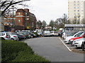
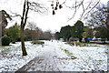
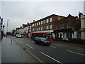
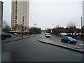
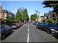
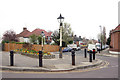
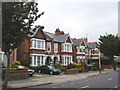
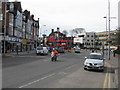
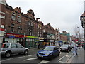
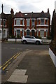
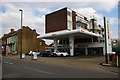

100 photos from this area
Area Information
Key information about the W3 9JH including its size, population, and administrative classification.
- Area Type
- Postcode
- Area Size
- 6967 m²
- Population
- 1854
- Population Density
- 4598 people/km²
House Prices in W3 9JH
14
Properties
£522,400
Average Sold Price
£145,000
Lowest Price
£850,000
Highest Price
Showing 14 properties
| Address | Type | Beds | Baths | Last Sale Price | Last Sale Date | |
|---|---|---|---|---|---|---|
| 26 Pierrepoint Road, Acton, W3 9JH | Semi-detached | 3 | 1 | £795,000 | May 2019 | |
| 22 Pierrepoint Road, Acton, W3 9JH | Semi-detached | 3 | 1 | £768,000 | Apr 2019 | |
| 16 Pierrepoint Road, Acton, W3 9JH | Semi-detached | 3 | 1 | £850,000 | Jun 2017 | |
| 20 Pierrepoint Road, Acton, W3 9JH | house | 3 | - | £805,000 | Jan 2014 | |
| 38 Pierrepoint Road, Acton, W3 9JH | house | 1 | - | £597,000 | Dec 2011 | |
| 32 Pierrepoint Road, Acton, W3 9JH | Semi-detached | - | - | £390,000 | Jan 2009 | |
| 12 Pierrepoint Road, Acton, W3 9JH | house | 3 | 1 | £360,000 | Apr 2004 | |
| 28 Pierrepoint Road, Acton, W3 9JH | Semi-detached | - | - | £291,500 | Mar 2000 | |
| 36 Pierrepoint Road, Acton, W3 9JH | house | - | - | £222,500 | Mar 1997 | |
| 18 Pierrepoint Road, Acton, W3 9JH | house | - | - | £145,000 | Nov 1996 |
Page 1 of 2
Energy Efficiency in W3 9JH
Amenities
Schools
| Rank | School | Type | Entry gender | Ages |
|---|
Explore more schools in this area
Go to Schools tabDemographics
Household Size
Family (3-5 people)
most common
Accommodation Type
Flats
most common
Tenure
36
majority
Ethnic Group
White
most common
Religion
N/A
most common
Household Composition
N/A
most common
Age
47
median
Adults (30-64 years)
most common
Household Deprivation
N/A
with no deprivation
NS-SEC
39
in Lower managerial occupations
Explore more demographic insights in this area
Go to Demographics tabPlanning
Planning Constraints
- Flood RiskPremium
- Ramsar Wetland SitesPremium
- Area of Outstanding Natural BeautyPremium
- Protected Nature ReservePremium
- Protected WoodlandPremium