Area Overview for W3 7JF
Photos of W3 7JF
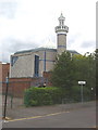
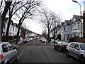
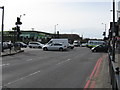
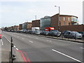
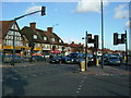
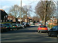
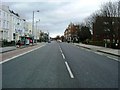
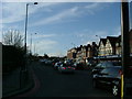
100 photos from this area
Area Information
Key information about the W3 7JF including its size, population, and administrative classification.
- Area Type
- Postcode
- Area Size
- 1.1 hectares
- Population
- 2388
- Population Density
- 10767 people/km²
House Prices in W3 7JF
14
Properties
£547,455
Average Sold Price
£142,000
Lowest Price
£1,195,000
Highest Price
Showing 14 properties
| Address | Type | Beds | Baths | Last Sale Price | Last Sale Date | |
|---|---|---|---|---|---|---|
| 57 Ashfield Road, Acton, W3 7JF | house | - | - | £875,000 | Apr 2023 | |
| 49 Ashfield Road, Acton, W3 7JF | Semi-detached | 4 | 2 | £1,195,000 | Jun 2021 | |
| 61 Ashfield Road, Acton, W3 7JF | Semi-detached | 4 | 2 | £1,000,000 | Jun 2021 | |
| 53 Ashfield Road, Acton, W3 7JF | Semi-detached | 5 | 3 | £930,000 | Aug 2016 | |
| 39 Ashfield Road, Acton, W3 7JF | Semi-detached | 5 | 3 | £450,000 | Jan 2010 | |
| 63 Ashfield Road, Acton, W3 7JF | Semi-detached | - | - | £435,000 | Jul 2005 | |
| 55 Ashfield Road, Acton, W3 7JF | Semi-detached | - | - | £370,000 | Nov 2001 | |
| 41 Ashfield Road, Acton, W3 7JF | Semi-detached | 4 | 2 | £265,000 | Jun 2000 | |
| 47 Ashfield Road, Acton, W3 7JF | Semi-detached | - | - | £210,000 | Nov 1998 | |
| 65 Ashfield Road, Acton, W3 7JF | house | - | - | £150,000 | Jan 1997 |
Page 1 of 2
Energy Efficiency in W3 7JF
Amenities
Schools
| Rank | School | Type | Entry gender | Ages |
|---|
Explore more schools in this area
Go to Schools tabDemographics
Household Size
Family (3-5 people)
most common
Accommodation Type
Flats
most common
Tenure
31
majority
Ethnic Group
White
most common
Religion
N/A
most common
Household Composition
N/A
most common
Age
47
median
Adults (30-64 years)
most common
Household Deprivation
N/A
with no deprivation
NS-SEC
37
in Lower managerial occupations
Explore more demographic insights in this area
Go to Demographics tabPlanning
Planning Constraints
- Flood RiskPremium
- Ramsar Wetland SitesPremium
- Area of Outstanding Natural BeautyPremium
- Protected Nature ReservePremium
- Protected WoodlandPremium