Area Overview for W3 0AL
Photos of W3 0AL
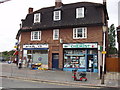
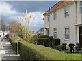
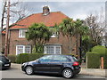

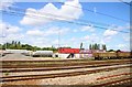
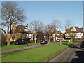
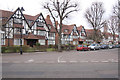
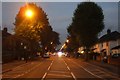
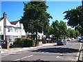
100 photos from this area
Area Information
Key information about the W3 0AL including its size, population, and administrative classification.
- Area Type
- Postcode
- Area Size
- 6959 m²
- Population
- 1824
- Population Density
- 4403 people/km²
House Prices in W3 0AL
23
Properties
£454,707
Average Sold Price
£96,000
Lowest Price
£899,950
Highest Price
Showing 23 properties
| Address | Type | Beds | Baths | Last Sale Price | Last Sale Date | |
|---|---|---|---|---|---|---|
| 2 Highfield Road, Acton, W3 0AL | Semi-detached | 3 | 1 | £800,000 | Sep 2023 | |
| 44 Highfield Road, Acton, W3 0AL | Terraced | 4 | 2 | £899,950 | Jul 2023 | |
| 26 Highfield Road, Acton, W3 0AL | house | 3 | 1 | £625,000 | Dec 2020 | |
| 40 Highfield Road, Acton, W3 0AL | Terraced | 3 | - | £615,000 | Jul 2017 | |
| 24 Highfield Road, Acton, W3 0AL | Terraced | 3 | - | £670,000 | Jan 2016 | |
| 20 Highfield Road, Acton, W3 0AL | house | - | - | £390,000 | May 2010 | |
| 30 Highfield Road, Acton, W3 0AL | Terraced | 3 | 1 | £295,000 | Nov 2008 | |
| 12 Highfield Road, Acton, W3 0AL | Semi-detached | 3 | 1 | £415,000 | Nov 2007 | |
| 28 Highfield Road, Acton, W3 0AL | Terraced | - | - | £390,000 | Feb 2007 | |
| 8 Highfield Road, Acton, W3 0AL | Terraced | 3 | - | £350,000 | Oct 2006 |
Page 1 of 3
Energy Efficiency in W3 0AL
Amenities
Schools
| Rank | School | Type | Entry gender | Ages |
|---|
Explore more schools in this area
Go to Schools tabDemographics
Household Size
Family (3-5 people)
most common
Accommodation Type
Houses
most common
Tenure
55
majority
Ethnic Group
White
most common
Religion
N/A
most common
Household Composition
N/A
most common
Age
47
median
Adults (30-64 years)
most common
Household Deprivation
N/A
with no deprivation
NS-SEC
38
in Lower managerial occupations
Explore more demographic insights in this area
Go to Demographics tabPlanning
Planning Constraints
- Flood RiskPremium
- Ramsar Wetland SitesPremium
- Area of Outstanding Natural BeautyPremium
- Protected Nature ReservePremium
- Protected WoodlandPremium