Area Overview for W14 9BN
Photos of W14 9BN
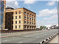

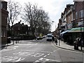
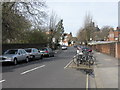
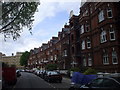
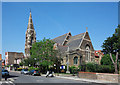
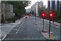
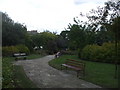
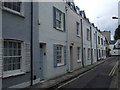

100 photos from this area
Area Information
Key information about the W14 9BN including its size, population, and administrative classification.
- Area Type
- Postcode
- Area Size
- 5758 m²
- Population
- 1515
- Population Density
- 11532 people/km²
House Prices in W14 9BN
79
Properties
£399,074
Average Sold Price
£73,000
Lowest Price
£770,000
Highest Price
Showing 79 properties
| Address | Type | Beds | Baths | Last Sale Price | Last Sale Date | |
|---|---|---|---|---|---|---|
| 61 More Close, London, W14 9BN | Flat | 1 | 1 | £450,000 | Dec 2025 | |
| 57 More Close, London, W14 9BN | Flat | 1 | 1 | £440,000 | Nov 2025 | |
| 63 More Close, London, W14 9BN | Flat | - | - | £385,000 | May 2025 | |
| 52 More Close, London, W14 9BN | Flat | 1 | 1 | £465,000 | Mar 2025 | |
| 54 More Close, London, W14 9BN | Flat | - | - | £432,000 | Jun 2024 | |
| 21 More Close, London, W14 9BN | Maisonette | 2 | 2 | £770,000 | May 2024 | |
| 55 More Close, London, W14 9BN | Flat | 1 | 1 | £435,000 | Aug 2023 | |
| 71 More Close, London, W14 9BN | Flat | 1 | 1 | £440,000 | Aug 2023 | |
| 24 More Close, London, W14 9BN | Terraced | 3 | 2 | £760,000 | Mar 2023 | |
| 72 More Close, London, W14 9BN | Flat | 1 | - | £425,000 | Sep 2022 |
Page 1 of 8
Energy Efficiency in W14 9BN
Amenities
Schools
| Rank | School | Type | Entry gender | Ages |
|---|
Explore more schools in this area
Go to Schools tabDemographics
Household Size
One person
most common
Accommodation Type
Flats
most common
Tenure
38
majority
Ethnic Group
White
most common
Religion
N/A
most common
Household Composition
N/A
most common
Age
47
median
Adults (30-64 years)
most common
Household Deprivation
N/A
with no deprivation
NS-SEC
52
in Lower managerial occupations
Explore more demographic insights in this area
Go to Demographics tabPlanning
Planning Constraints
- Flood RiskPremium
- Ramsar Wetland SitesPremium
- Area of Outstanding Natural BeautyPremium
- Protected Nature ReservePremium
- Protected WoodlandPremium