Area Overview for W13 9ES
Photos of W13 9ES
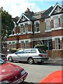
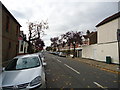
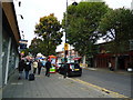
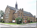

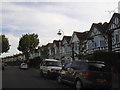
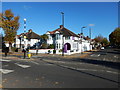
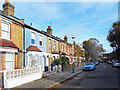
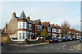
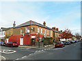
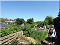
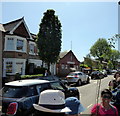
65 photos from this area
Area Information
Key information about the W13 9ES including its size, population, and administrative classification.
- Area Type
- Postcode
- Area Size
- 4935 m²
- Population
- 1748
- Population Density
- 16051 people/km²
House Prices in W13 9ES
32
Properties
£508,630
Average Sold Price
£40,000
Lowest Price
£870,000
Highest Price
Showing 32 properties
| Address | Type | Beds | Baths | Last Sale Price | Last Sale Date | |
|---|---|---|---|---|---|---|
| 34 Hessel Road, West Ealing, W13 9ES | house | - | - | £810,000 | Jun 2023 | |
| 42 Hessel Road, West Ealing, W13 9ES | Terraced | 2 | 1 | £750,000 | Mar 2023 | |
| 10 Hessel Road, West Ealing, W13 9ES | Terraced | 4 | 1 | £665,000 | Mar 2022 | |
| 40 Hessel Road, West Ealing, W13 9ES | house | 2 | 2 | £855,000 | Mar 2022 | |
| 36 Hessel Road, West Ealing, W13 9ES | house | - | - | £770,000 | Sep 2021 | |
| 12 Hessel Road, West Ealing, W13 9ES | Terraced | 4 | 1 | £870,000 | Sep 2021 | |
| 26 Hessel Road, West Ealing, W13 9ES | Terraced | 3 | - | £725,000 | Apr 2021 | |
| 18A Hessel Road, West Ealing, W13 9ES | Flat | 1 | 1 | £375,000 | Apr 2020 | |
| 16 Hessel Road, West Ealing, W13 9ES | Terraced | 3 | - | £750,000 | Jan 2020 | |
| 32 Hessel Road, West Ealing, W13 9ES | Terraced | 3 | 1 | £672,000 | Feb 2019 |
Page 1 of 4
Energy Efficiency in W13 9ES
Amenities
Schools
| Rank | School | Type | Entry gender | Ages |
|---|
Explore more schools in this area
Go to Schools tabDemographics
Household Size
Family (3-5 people)
most common
Accommodation Type
Houses
most common
Tenure
59
majority
Ethnic Group
White
most common
Religion
N/A
most common
Household Composition
N/A
most common
Age
47
median
Adults (30-64 years)
most common
Household Deprivation
N/A
with no deprivation
NS-SEC
54
in Lower managerial occupations
Explore more demographic insights in this area
Go to Demographics tabPlanning
Planning Constraints
- Flood RiskPremium
- Ramsar Wetland SitesPremium
- Area of Outstanding Natural BeautyPremium
- Protected Nature ReservePremium
- Protected WoodlandPremium