Area Overview for W13 8PZ
Photos of W13 8PZ
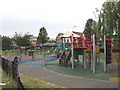
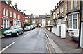

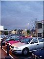
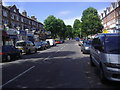
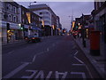
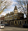
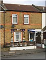
100 photos from this area
Area Information
Key information about the W13 8PZ including its size, population, and administrative classification.
- Area Type
- Postcode
- Area Size
- 4462 m²
- Population
- 1834
- Population Density
- 6897 people/km²
House Prices in W13 8PZ
32
Properties
£288,135
Average Sold Price
£72,000
Lowest Price
£510,000
Highest Price
Showing 32 properties
| Address | Type | Beds | Baths | Last Sale Price | Last Sale Date | |
|---|---|---|---|---|---|---|
| 68 Langham Gardens, West Ealing, W13 8PZ | Flat | - | - | £425,000 | Feb 2024 | |
| 56 Langham Gardens, West Ealing, W13 8PZ | Flat | - | - | £390,000 | Jun 2023 | |
| 74 Langham Gardens, West Ealing, W13 8PZ | Flat | - | - | £430,000 | May 2023 | |
| 70 Langham Gardens, West Ealing, W13 8PZ | Flat | 2 | 1 | £435,000 | Mar 2022 | |
| 62 Langham Gardens, West Ealing, W13 8PZ | Flat | 2 | 1 | £415,000 | Oct 2021 | |
| 65 Langham Gardens, West Ealing, W13 8PZ | Flat | - | - | £450,000 | Oct 2018 | |
| 72 Langham Gardens, West Ealing, W13 8PZ | Flat | - | - | £510,000 | Sep 2016 | |
| 61 Langham Gardens, West Ealing, W13 8PZ | Flat | - | - | £510,000 | Jun 2016 | |
| 55 Langham Gardens, West Ealing, W13 8PZ | Flat | - | - | £355,000 | Dec 2013 | |
| 49 Langham Gardens, West Ealing, W13 8PZ | Flat | 2 | 1 | £295,000 | Jan 2013 |
Page 1 of 4
Energy Efficiency in W13 8PZ
Amenities
Schools
| Rank | School | Type | Entry gender | Ages |
|---|
Explore more schools in this area
Go to Schools tabDemographics
Household Size
Family (3-5 people)
most common
Accommodation Type
Flats
most common
Tenure
38
majority
Ethnic Group
White
most common
Religion
N/A
most common
Household Composition
N/A
most common
Age
47
median
Adults (30-64 years)
most common
Household Deprivation
N/A
with no deprivation
NS-SEC
51
in Lower managerial occupations
Explore more demographic insights in this area
Go to Demographics tabPlanning
Planning Constraints
- Flood RiskPremium
- Ramsar Wetland SitesPremium
- Area of Outstanding Natural BeautyPremium
- Protected Nature ReservePremium
- Protected WoodlandPremium