Area Overview for W13 8HJ
Photos of W13 8HJ

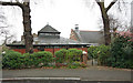
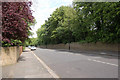
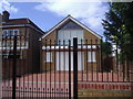
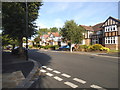
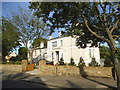
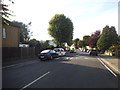
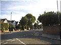
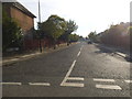
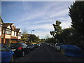
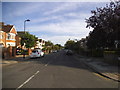
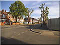
81 photos from this area
Area Information
Key information about the W13 8HJ including its size, population, and administrative classification.
- Area Type
- Postcode
- Area Size
- 2629 m²
- Population
- 1560
- Population Density
- 6522 people/km²
House Prices in W13 8HJ
12
Properties
£567,571
Average Sold Price
£240,000
Lowest Price
£960,000
Highest Price
Showing 12 properties
| Address | Type | Beds | Baths | Last Sale Price | Last Sale Date | |
|---|---|---|---|---|---|---|
| 45 St Stephens Road, West Ealing, W13 8HJ | house | 3 | - | £625,000 | Jul 2019 | |
| 51 St Stephens Road, West Ealing, W13 8HJ | Terraced | - | - | £240,000 | Apr 2019 | |
| 43 St Stephens Road, West Ealing, W13 8HJ | house | - | - | £675,000 | Apr 2015 | |
| 35 St Stephens Road, West Ealing, W13 8HJ | house | - | - | £960,000 | Dec 2014 | |
| 33 St Stephens Road, West Ealing, W13 8HJ | house | 4 | - | £680,000 | Jul 2012 | |
| 39 St Stephens Road, West Ealing, W13 8HJ | Terraced | - | - | £500,000 | Jun 2006 | |
| 49 St Stephens Road, West Ealing, W13 8HJ | house | 4 | - | £293,000 | Oct 2001 | |
| 47 St Stephens Road, West Ealing, W13 8HJ | Terraced | - | - | - | - | |
| 41 St Stephens Road, West Ealing, W13 8HJ | Semi-detached | 3 | 2 | - | - | |
| 31 St Stephens Road, West Ealing, W13 8HJ | Semi-detached | - | - | - | - |
Page 1 of 2
Energy Efficiency in W13 8HJ
Amenities
Schools
| Rank | School | Type | Entry gender | Ages |
|---|
Explore more schools in this area
Go to Schools tabDemographics
Household Size
Family (3-5 people)
most common
Accommodation Type
Houses
most common
Tenure
71
majority
Ethnic Group
White
most common
Religion
N/A
most common
Household Composition
N/A
most common
Age
47
median
Adults (30-64 years)
most common
Household Deprivation
N/A
with no deprivation
NS-SEC
59
in Lower managerial occupations
Explore more demographic insights in this area
Go to Demographics tabPlanning
Planning Constraints
- Flood RiskPremium
- Ramsar Wetland SitesPremium
- Area of Outstanding Natural BeautyPremium
- Protected Nature ReservePremium
- Protected WoodlandPremium