Area Overview for W12 9NG
Photos of W12 9NG
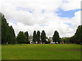
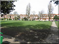
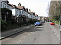
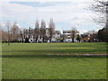
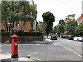
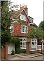

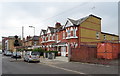
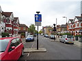
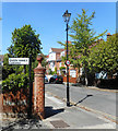
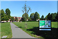
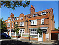
100 photos from this area
Area Information
Key information about the W12 9NG including its size, population, and administrative classification.
- Area Type
- Postcode
- Area Size
- 6822 m²
- Population
- 2703
- Population Density
- 25238 people/km²
House Prices in W12 9NG
51
Properties
£427,012
Average Sold Price
£72,000
Lowest Price
£785,000
Highest Price
Showing 51 properties
| Address | Type | Beds | Baths | Last Sale Price | Last Sale Date | |
|---|---|---|---|---|---|---|
| 73 Hartswood Road, London, W12 9NG | Maisonette | 2 | 1 | £690,000 | Sep 2025 | |
| 129 Hartswood Road, London, W12 9NG | Maisonette | - | - | £535,100 | Mar 2025 | |
| 83 Hartswood Road, London, W12 9NG | Maisonette | 2 | 1 | £677,500 | Sep 2024 | |
| 165 Hartswood Road, London, W12 9NG | Flat | 2 | 1 | £490,000 | May 2024 | |
| 163 Hartswood Road, London, W12 9NG | Flat | 2 | 1 | £510,000 | Feb 2024 | |
| 171 Hartswood Road, London, W12 9NG | Flat | 2 | 1 | £560,101 | Aug 2023 | |
| 91 Hartswood Road, London, W12 9NG | Flat | 3 | 2 | £785,000 | Aug 2023 | |
| 121 Hartswood Road, London, W12 9NG | Flat | 2 | 2 | £585,000 | Oct 2022 | |
| 133 Hartswood Road, London, W12 9NG | Flat | 3 | 2 | £300,000 | Mar 2022 | |
| 117 Hartswood Road, London, W12 9NG | Flat | 2 | 1 | £625,000 | Nov 2021 |
Page 1 of 6
Energy Efficiency in W12 9NG
Amenities
Schools
| Rank | School | Type | Entry gender | Ages |
|---|
Explore more schools in this area
Go to Schools tabDemographics
Household Size
Two person
most common
Accommodation Type
Flats
most common
Tenure
38
majority
Ethnic Group
White
most common
Religion
N/A
most common
Household Composition
N/A
most common
Age
47
median
Adults (30-64 years)
most common
Household Deprivation
N/A
with no deprivation
NS-SEC
46
in Lower managerial occupations
Explore more demographic insights in this area
Go to Demographics tabPlanning
Planning Constraints
- Flood RiskPremium
- Ramsar Wetland SitesPremium
- Area of Outstanding Natural BeautyPremium
- Protected Nature ReservePremium
- Protected WoodlandPremium