Area Overview for W12 8NS
Photos of W12 8NS
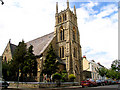
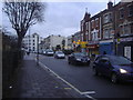
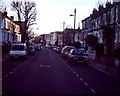
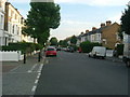
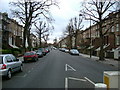
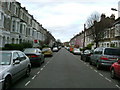
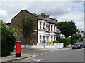
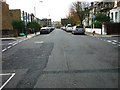
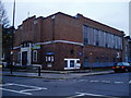
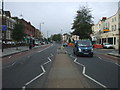
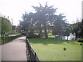
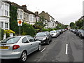
100 photos from this area
Area Information
Key information about the W12 8NS including its size, population, and administrative classification.
- Area Type
- Postcode
- Area Size
- 5171 m²
- Population
- 1838
- Population Density
- 19785 people/km²
House Prices in W12 8NS
53
Properties
£1,456,526
Average Sold Price
£641,500
Lowest Price
£1,925,000
Highest Price
Showing 53 properties
| Address | Type | Beds | Baths | Last Sale Price | Last Sale Date | |
|---|---|---|---|---|---|---|
| 9 Warbeck Road, London, W12 8NS | Semi-detached | 5 | 3 | £1,925,000 | May 2025 | |
| 15 Warbeck Road, London, W12 8NS | Terraced | 4 | 3 | £1,600,000 | Sep 2023 | |
| 17 Warbeck Road, London, W12 8NS | Terraced | 5 | 2 | £1,605,000 | May 2023 | |
| 11 Warbeck Road, London, W12 8NS | Maisonette | 5 | 4 | £1,925,000 | Aug 2022 | |
| 27 Warbeck Road, London, W12 8NS | house | - | - | £1,625,000 | Jun 2022 | |
| 35 Warbeck Road, London, W12 8NS | Terraced | 5 | - | £1,785,000 | Jul 2017 | |
| 51 Warbeck Road, London, W12 8NS | house | - | - | £1,275,000 | Sep 2015 | |
| 49 Warbeck Road, London, W12 8NS | house | 3 | 2 | £727,237 | Dec 2009 | |
| 43 Warbeck Road, London, W12 8NS | Terraced | 2 | 2 | £641,500 | Oct 2009 | |
| Flat B, 25 Warbeck Road, London, W12 8NS | Flat | 1 | 1 | - | - |
Page 1 of 6
Energy Efficiency in W12 8NS
Amenities
Schools
| Rank | School | Type | Entry gender | Ages |
|---|
Explore more schools in this area
Go to Schools tabDemographics
Household Size
One person
most common
Accommodation Type
Flats
most common
Tenure
25
majority
Ethnic Group
White
most common
Religion
N/A
most common
Household Composition
N/A
most common
Age
47
median
Adults (30-64 years)
most common
Household Deprivation
N/A
with no deprivation
NS-SEC
45
in Lower managerial occupations
Explore more demographic insights in this area
Go to Demographics tabPlanning
Planning Constraints
- Flood RiskPremium
- Ramsar Wetland SitesPremium
- Area of Outstanding Natural BeautyPremium
- Protected Nature ReservePremium
- Protected WoodlandPremium