Area Overview for W12 8DW
Photos of W12 8DW

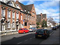

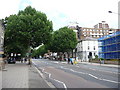
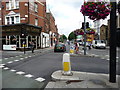
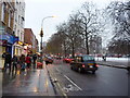
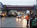
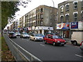
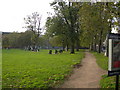

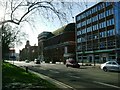
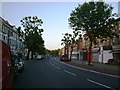
100 photos from this area
Area Information
Key information about the W12 8DW including its size, population, and administrative classification.
- Area Type
- Postcode
- Area Size
- 8983 m²
- Population
- 1566
- Population Density
- 10868 people/km²
House Prices in W12 8DW
84
Properties
£833,163
Average Sold Price
£125,000
Lowest Price
£1,360,000
Highest Price
Showing 84 properties
| Address | Type | Beds | Baths | Last Sale Price | Last Sale Date | |
|---|---|---|---|---|---|---|
| 69 Pennard Road, London, W12 8DW | Flat | 2 | 1 | £518,000 | Jul 2025 | |
| 63 Pennard Road, London, W12 8DW | Terraced | 4 | 2 | £1,270,000 | Feb 2025 | |
| 73 Pennard Road, London, W12 8DW | Retail | 5 | 3 | £1,260,000 | Oct 2023 | |
| 75 Pennard Road, London, W12 8DW | house | 5 | 1 | £1,275,000 | May 2023 | |
| 29 Pennard Road, London, W12 8DW | house | - | - | £1,215,000 | Sep 2021 | |
| 7 Pennard Road, London, W12 8DW | house | - | - | £1,100,000 | Mar 2021 | |
| 39 Pennard Road, London, W12 8DW | Terraced | 4 | 4 | £1,360,000 | Sep 2019 | |
| 51 Pennard Road, London, W12 8DW | Terraced | 4 | 4 | £1,200,000 | Sep 2014 | |
| 57 Pennard Road, London, W12 8DW | Terraced | 5 | 3 | £1,117,500 | Aug 2012 | |
| 59 Pennard Road, London, W12 8DW | Terraced | 1 | 1 | £700,000 | Apr 2007 |
Page 1 of 9
Energy Efficiency in W12 8DW
Amenities
Schools
| Rank | School | Type | Entry gender | Ages |
|---|
Explore more schools in this area
Go to Schools tabDemographics
Household Size
One person
most common
Accommodation Type
Flats
most common
Tenure
25
majority
Ethnic Group
White
most common
Religion
N/A
most common
Household Composition
N/A
most common
Age
47
median
Adults (30-64 years)
most common
Household Deprivation
N/A
with no deprivation
NS-SEC
46
in Lower managerial occupations
Explore more demographic insights in this area
Go to Demographics tabPlanning
Planning Constraints
- Flood RiskPremium
- Ramsar Wetland SitesPremium
- Area of Outstanding Natural BeautyPremium
- Protected Nature ReservePremium
- Protected WoodlandPremium