Area Overview for W12 7BB
Photos of W12 7BB
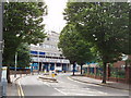
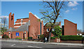

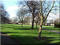
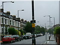
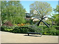
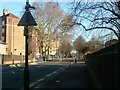
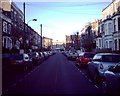
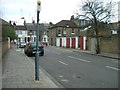

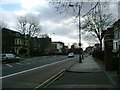
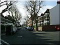
100 photos from this area
Area Information
Key information about the W12 7BB including its size, population, and administrative classification.
- Area Type
- Postcode
- Area Size
- 6477 m²
- Population
- 1665
- Population Density
- 14453 people/km²
House Prices in W12 7BB
43
Properties
£673,269
Average Sold Price
£400,000
Lowest Price
£1,200,000
Highest Price
Showing 43 properties
| Address | Type | Beds | Baths | Last Sale Price | Last Sale Date | |
|---|---|---|---|---|---|---|
| 2 Arminger Road, London, W12 7BB | house | 1 | 2 | £1,000,000 | Oct 2020 | |
| Merton Villa, Arminger Road, London, W12 7BB | Terraced | 4 | 2 | £1,200,000 | Sep 2016 | |
| 4 Arminger Road, London, W12 7BB | Flat | 3 | 2 | £1,150,000 | May 2015 | |
| 38 Arminger Road, London, W12 7BB | Flat | 1 | - | £530,000 | Jul 2014 | |
| 46 Arminger Road, London, W12 7BB | Terraced | - | - | £400,000 | Apr 2014 | |
| 12 Arminger Road, London, W12 7BB | Terraced | 4 | 3 | £750,000 | Dec 2011 | |
| 20 Arminger Road, London, W12 7BB | house | - | - | £635,000 | Feb 2010 | |
| York House, Arminger Road, London, W12 7BB | Maisonette | - | - | £450,000 | Aug 2009 | |
| 34 Arminger Road, London, W12 7BB | Terraced | - | - | £483,000 | Feb 2009 | |
| 10 Arminger Road, London, W12 7BB | Terraced | 5 | - | £780,000 | Oct 2006 |
Page 1 of 5
Energy Efficiency in W12 7BB
Amenities
Schools
| Rank | School | Type | Entry gender | Ages |
|---|
Explore more schools in this area
Go to Schools tabDemographics
Household Size
One person
most common
Accommodation Type
Flats
most common
Tenure
33
majority
Ethnic Group
White
most common
Religion
N/A
most common
Household Composition
N/A
most common
Age
47
median
Adults (30-64 years)
most common
Household Deprivation
N/A
with no deprivation
NS-SEC
46
in Lower managerial occupations
Explore more demographic insights in this area
Go to Demographics tabPlanning
Planning Constraints
- Flood RiskPremium
- Ramsar Wetland SitesPremium
- Area of Outstanding Natural BeautyPremium
- Protected Nature ReservePremium
- Protected WoodlandPremium