Area Overview for W12 0NA
Photos of W12 0NA
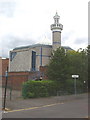
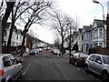
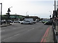
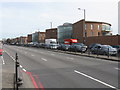
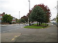
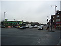
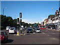
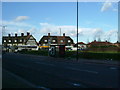
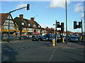
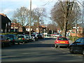
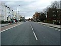
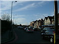
100 photos from this area
Area Information
Key information about the W12 0NA including its size, population, and administrative classification.
- Area Type
- Postcode
- Area Size
- 1.2 hectares
- Population
- 1575
- Population Density
- 11745 people/km²
House Prices in W12 0NA
62
Properties
£739,209
Average Sold Price
£14,970
Lowest Price
£1,372,500
Highest Price
Showing 62 properties
| Address | Type | Beds | Baths | Last Sale Price | Last Sale Date | |
|---|---|---|---|---|---|---|
| 17 Sedgeford Road, London, W12 0NA | Terraced | 3 | 2 | £1,220,000 | Jan 2025 | |
| 63 Sedgeford Road, London, W12 0NA | house | - | - | £805,000 | Apr 2021 | |
| 13 Sedgeford Road, London, W12 0NA | Terraced | 3 | 1 | £1,350,000 | Mar 2021 | |
| 51 Sedgeford Road, London, W12 0NA | house | 4 | - | £1,090,000 | Dec 2019 | |
| 67 Sedgeford Road, London, W12 0NA | Terraced | - | - | £1,000,000 | Jan 2018 | |
| 19 Sedgeford Road, London, W12 0NA | house | 4 | - | £1,372,500 | Jul 2017 | |
| 55 Sedgeford Road, London, W12 0NA | Terraced | 3 | - | £400,000 | Jul 2015 | |
| 37 Sedgeford Road, London, W12 0NA | Terraced | 4 | 2 | £1,000,000 | Sep 2013 | |
| 57 Sedgeford Road, London, W12 0NA | house | - | - | £875,000 | Jul 2013 | |
| 69 Sedgeford Road, London, W12 0NA | Terraced | 3 | - | £721,500 | Dec 2012 |
Page 1 of 7
Energy Efficiency in W12 0NA
Amenities
Schools
| Rank | School | Type | Entry gender | Ages |
|---|
Explore more schools in this area
Go to Schools tabDemographics
Household Size
Family (3-5 people)
most common
Accommodation Type
Flats
most common
Tenure
38
majority
Ethnic Group
White
most common
Religion
N/A
most common
Household Composition
N/A
most common
Age
47
median
Adults (30-64 years)
most common
Household Deprivation
N/A
with no deprivation
NS-SEC
35
in Lower managerial occupations
Explore more demographic insights in this area
Go to Demographics tabPlanning
Planning Constraints
- Flood RiskPremium
- Ramsar Wetland SitesPremium
- Area of Outstanding Natural BeautyPremium
- Protected Nature ReservePremium
- Protected WoodlandPremium