Area Overview for W10 4SZ
Photos of W10 4SZ
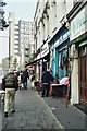
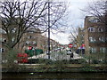

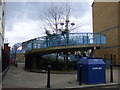

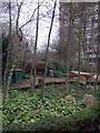
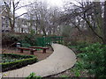
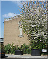
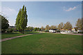

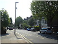
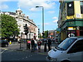
100 photos from this area
Area Information
Key information about the W10 4SZ including its size, population, and administrative classification.
- Area Type
- Postcode
- Area Size
- 6001 m²
- Population
- 2685
- Population Density
- 33354 people/km²
House Prices in W10 4SZ
42
Properties
£256,118
Average Sold Price
£95,000
Lowest Price
£450,000
Highest Price
Showing 42 properties
| Address | Type | Beds | Baths | Last Sale Price | Last Sale Date | |
|---|---|---|---|---|---|---|
| 25 Parry Road, London, W10 4SZ | Terraced | 2 | - | £450,000 | Nov 2023 | |
| 7 Parry Road, London, W10 4SZ | Maisonette | 2 | 2 | £390,000 | Dec 2020 | |
| 37 Parry Road, London, W10 4SZ | Flat | - | - | £350,000 | Jul 2014 | |
| 5 Parry Road, London, W10 4SZ | Maisonette | 5 | - | £300,000 | Jun 2014 | |
| 74 Parry Road, London, W10 4SZ | house | 2 | - | £371,000 | May 2014 | |
| 34 Parry Road, London, W10 4SZ | Semi-detached | 2 | - | £377,420 | Sep 2013 | |
| 9 Parry Road, London, W10 4SZ | Flat | - | - | £249,500 | Dec 2008 | |
| 39 Parry Road, London, W10 4SZ | Flat | 2 | 1 | £135,000 | Dec 2006 | |
| 40 Parry Road, London, W10 4SZ | house | 1 | 1 | £126,000 | Feb 2005 | |
| 27 Parry Road, London, W10 4SZ | Maisonette | - | - | £122,500 | Jun 2000 |
Page 1 of 5
Energy Efficiency in W10 4SZ
Amenities
Schools
| Rank | School | Type | Entry gender | Ages |
|---|
Explore more schools in this area
Go to Schools tabDemographics
Household Size
Family (3-5 people)
most common
Accommodation Type
Flats
most common
Tenure
14
majority
Ethnic Group
White
most common
Religion
N/A
most common
Household Composition
N/A
most common
Age
47
median
Adults (30-64 years)
most common
Household Deprivation
N/A
with no deprivation
NS-SEC
22
in Lower managerial occupations
Explore more demographic insights in this area
Go to Demographics tabPlanning
Planning Constraints
- Flood RiskPremium
- Ramsar Wetland SitesPremium
- Area of Outstanding Natural BeautyPremium
- Protected Nature ReservePremium
- Protected WoodlandPremium