Area Overview for W10 4NL
Photos of W10 4NL
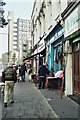
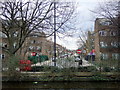

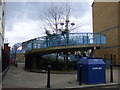

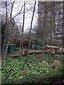
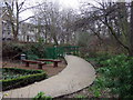
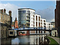
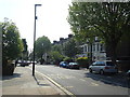
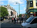
100 photos from this area
Area Information
Key information about the W10 4NL including its size, population, and administrative classification.
- Area Type
- Postcode
- Area Size
- 5149 m²
- Population
- 1859
- Population Density
- 25156 people/km²
House Prices in W10 4NL
39
Properties
£558,414
Average Sold Price
£106,950
Lowest Price
£960,000
Highest Price
Showing 39 properties
| Address | Type | Beds | Baths | Last Sale Price | Last Sale Date | |
|---|---|---|---|---|---|---|
| 40 First Avenue, London, W10 4NL | Terraced | 3 | 1 | £872,500 | Sep 2025 | |
| 56 First Avenue, London, W10 4NL | Detached | 2 | 1 | £703,000 | Apr 2024 | |
| 64 First Avenue, London, W10 4NL | Terraced | 2 | 2 | £960,000 | Mar 2022 | |
| 34 First Avenue, London, W10 4NL | Terraced | 2 | 1 | £870,000 | Mar 2021 | |
| 60 First Avenue, London, W10 4NL | Terraced | 3 | 1 | £825,000 | Aug 2018 | |
| 16 First Avenue, London, W10 4NL | house | 2 | 1 | £715,000 | Jun 2014 | |
| 18 First Avenue, London, W10 4NL | Terraced | 2 | - | £375,600 | Aug 2006 | |
| 54 First Avenue, London, W10 4NL | Terraced | 3 | 1 | £270,000 | Jan 2004 | |
| 30 First Avenue, London, W10 4NL | Terraced | 3 | 2 | £209,500 | Jun 2003 | |
| 44 First Avenue, London, W10 4NL | house | - | - | £235,000 | May 2000 |
Page 1 of 4
Energy Efficiency in W10 4NL
Amenities
Schools
| Rank | School | Type | Entry gender | Ages |
|---|
Explore more schools in this area
Go to Schools tabDemographics
Household Size
One person
most common
Accommodation Type
Flats
most common
Tenure
24
majority
Ethnic Group
White
most common
Religion
N/A
most common
Household Composition
N/A
most common
Age
47
median
Adults (30-64 years)
most common
Household Deprivation
N/A
with no deprivation
NS-SEC
32
in Lower managerial occupations
Explore more demographic insights in this area
Go to Demographics tabPlanning
Planning Constraints
- Flood RiskPremium
- Ramsar Wetland SitesPremium
- Area of Outstanding Natural BeautyPremium
- Protected Nature ReservePremium
- Protected WoodlandPremium