Area Overview for W10 4HH
Photos of W10 4HH
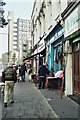
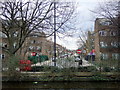
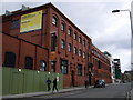
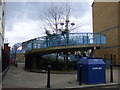
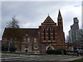
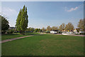
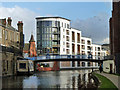
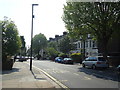
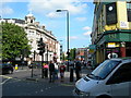
100 photos from this area
Area Information
Key information about the W10 4HH including its size, population, and administrative classification.
- Area Type
- Postcode
- Area Size
- 2347 m²
- Population
- 2274
- Population Density
- 19255 people/km²
House Prices in W10 4HH
20
Properties
£415,464
Average Sold Price
£87,000
Lowest Price
£820,000
Highest Price
Showing 20 properties
| Address | Type | Beds | Baths | Last Sale Price | Last Sale Date | |
|---|---|---|---|---|---|---|
| 87 Sixth Avenue, London, W10 4HH | Terraced | 3 | 1 | £820,000 | Jul 2016 | |
| 99 Sixth Avenue, London, W10 4HH | house | - | - | £538,500 | Oct 2011 | |
| 111 Sixth Avenue, London, W10 4HH | house | - | - | £495,000 | Jan 2007 | |
| 95 Sixth Avenue, London, W10 4HH | house | - | - | £397,000 | Apr 2006 | |
| 91 Sixth Avenue, London, W10 4HH | Terraced | - | - | £381,250 | Aug 2005 | |
| 107 Sixth Avenue, London, W10 4HH | house | - | - | £189,500 | Dec 2003 | |
| 123 Sixth Avenue, London, W10 4HH | Terraced | - | - | £87,000 | Dec 1995 | |
| 85 Sixth Avenue, London, W10 4HH | house | - | - | - | - | |
| 97 Sixth Avenue, London, W10 4HH | house | - | - | - | - | |
| 113 Sixth Avenue, London, W10 4HH | house | - | - | - | - |
Page 1 of 2
Energy Efficiency in W10 4HH
Amenities
Schools
| Rank | School | Type | Entry gender | Ages |
|---|
Explore more schools in this area
Go to Schools tabDemographics
Household Size
Family (3-5 people)
most common
Accommodation Type
Houses
most common
Tenure
30
majority
Ethnic Group
White
most common
Religion
N/A
most common
Household Composition
N/A
most common
Age
47
median
Adults (30-64 years)
most common
Household Deprivation
N/A
with no deprivation
NS-SEC
31
in Lower managerial occupations
Explore more demographic insights in this area
Go to Demographics tabPlanning
Planning Constraints
- Flood RiskPremium
- Ramsar Wetland SitesPremium
- Area of Outstanding Natural BeautyPremium
- Protected Nature ReservePremium
- Protected WoodlandPremium