Area Overview for W10 4AH
Photos of W10 4AH
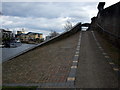
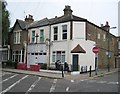
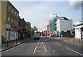
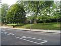
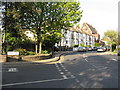
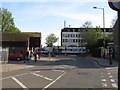
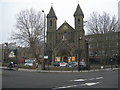
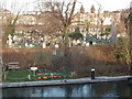
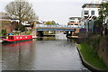
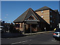

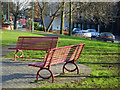
100 photos from this area
Area Information
Key information about the W10 4AH including its size, population, and administrative classification.
- Area Type
- Postcode
- Area Size
- 1.1 hectares
- Population
- 2380
- Population Density
- 15930 people/km²
House Prices in W10 4AH
59
Properties
£844,220
Average Sold Price
£106,000
Lowest Price
£1,365,000
Highest Price
Showing 59 properties
| Address | Type | Beds | Baths | Last Sale Price | Last Sale Date | |
|---|---|---|---|---|---|---|
| 76 Kilburn Lane, London, W10 4AH | Detached | 2 | 1 | £927,500 | Oct 2025 | |
| 3, Dermot Terrace, Kilburn Lane, North Kensington, London, W10 4AH | Terraced | 4 | 3 | £1,365,000 | Apr 2025 | |
| 4, Dermot Terrace, Kilburn Lane, North Kensington, London, W10 4AH | house | 4 | 3 | £1,136,500 | Aug 2024 | |
| 15, Dermot Terrace, Kilburn Lane, North Kensington, London, W10 4AH | Terraced | 4 | 3 | £1,100,000 | Jan 2024 | |
| 60 Kilburn Lane, London, W10 4AH | Terraced | 3 | 2 | £640,000 | Dec 2022 | |
| 84 Kilburn Lane, London, W10 4AH | house | 3 | 1 | £770,000 | Oct 2022 | |
| 68 Kilburn Lane, London, W10 4AH | house | - | - | £820,000 | Aug 2021 | |
| 54 Kilburn Lane, London, W10 4AH | house | - | - | £750,000 | May 2021 | |
| 46 Kilburn Lane, London, W10 4AH | house | 2 | - | £835,000 | Dec 2020 | |
| 72 Kilburn Lane, London, W10 4AH | Terraced | 2 | 1 | £767,500 | Aug 2020 |
Page 1 of 6
Energy Efficiency in W10 4AH
Amenities
Schools
| Rank | School | Type | Entry gender | Ages |
|---|
Explore more schools in this area
Go to Schools tabDemographics
Household Size
One person
most common
Accommodation Type
Flats
most common
Tenure
33
majority
Ethnic Group
White
most common
Religion
N/A
most common
Household Composition
N/A
most common
Age
47
median
Adults (30-64 years)
most common
Household Deprivation
N/A
with no deprivation
NS-SEC
42
in Lower managerial occupations
Explore more demographic insights in this area
Go to Demographics tabPlanning
Planning Constraints
- Flood RiskPremium
- Ramsar Wetland SitesPremium
- Area of Outstanding Natural BeautyPremium
- Protected Nature ReservePremium
- Protected WoodlandPremium