Area Overview for UB9 6HE
Photos of UB9 6HE
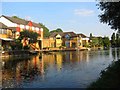
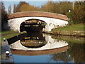
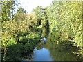
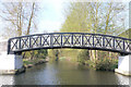
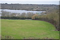
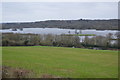
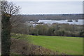
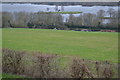
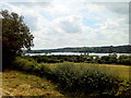
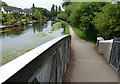
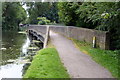
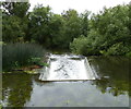
100 photos from this area
Area Information
Key information about the UB9 6HE including its size, population, and administrative classification.
- Area Type
- Postcode
- Area Size
- 8.5 hectares
- Population
- 1441
- Population Density
- 390 people/km²
House Prices in UB9 6HE
39
Properties
£486,686
Average Sold Price
£197,000
Lowest Price
£975,000
Highest Price
Showing 39 properties
| Address | Type | Beds | Baths | Last Sale Price | Last Sale Date | |
|---|---|---|---|---|---|---|
| 6 Jacks Lane, Harefield, UB9 6HE | Terraced | 4 | 2 | £640,000 | Sep 2025 | |
| 7 Jacks Lane, Harefield, UB9 6HE | house | 3 | 2 | £630,000 | Jun 2025 | |
| 13 Jacks Lane, Harefield, UB9 6HE | Semi-detached | 4 | 2 | £820,000 | Apr 2024 | |
| 4 Jacks Lane, Harefield, UB9 6HE | Terraced | 3 | 2 | £665,000 | Jan 2023 | |
| 20 Jacks Lane, Harefield, UB9 6HE | Semi-detached | 3 | 2 | £850,000 | Sep 2022 | |
| 28 Jacks Lane, Harefield, UB9 6HE | Detached | 4 | 2 | £975,000 | Jun 2021 | |
| 2 Jacks Lane, Harefield, UB9 6HE | Semi-detached | 3 | 2 | £555,000 | Sep 2020 | |
| 26 Jacks Lane, Harefield, UB9 6HE | Terraced | 4 | 2 | £742,500 | Oct 2017 | |
| 17 Jacks Lane, Harefield, UB9 6HE | Semi-detached | 4 | 2 | £575,000 | Apr 2016 | |
| 8 Jacks Lane, Harefield, UB9 6HE | house | 3 | - | £538,500 | Feb 2015 |
Page 1 of 4
Energy Efficiency in UB9 6HE
Amenities
Schools
| Rank | School | Type | Entry gender | Ages |
|---|
Explore more schools in this area
Go to Schools tabDemographics
Household Size
Family (3-5 people)
most common
Accommodation Type
Houses
most common
Tenure
77
majority
Ethnic Group
White
most common
Religion
N/A
most common
Household Composition
N/A
most common
Age
47
median
Adults (30-64 years)
most common
Household Deprivation
N/A
with no deprivation
NS-SEC
44
in Lower managerial occupations
Explore more demographic insights in this area
Go to Demographics tabPlanning
Planning Constraints
- Flood RiskPremium
- Ramsar Wetland SitesPremium
- Area of Outstanding Natural BeautyPremium
- Protected Nature ReservePremium
- Protected WoodlandPremium