Area Overview for UB8 3HA
Photos of UB8 3HA
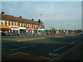
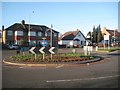
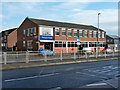
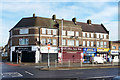
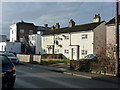
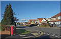
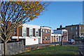
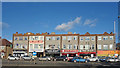
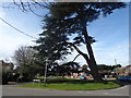
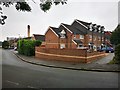
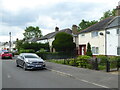
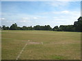
20 photos from this area
Area Information
Key information about the UB8 3HA including its size, population, and administrative classification.
- Area Type
- Postcode
- Area Size
- 1.6 hectares
- Population
- 1651
- Population Density
- 8206 people/km²
House Prices in UB8 3HA
22
Properties
£397,497
Average Sold Price
£124,500
Lowest Price
£740,000
Highest Price
Showing 22 properties
| Address | Type | Beds | Baths | Last Sale Price | Last Sale Date | |
|---|---|---|---|---|---|---|
| 184 Harlington Road, Uxbridge, UB8 3HA | Semi-detached | 5 | 3 | £740,000 | Dec 2024 | |
| 192 Harlington Road, Uxbridge, UB8 3HA | house | - | - | £462,000 | Apr 2021 | |
| 178 Harlington Road, Uxbridge, UB8 3HA | Bungalow | 4 | 1 | £530,000 | Feb 2020 | |
| 172 Harlington Road, Uxbridge, UB8 3HA | Detached | 6 | 3 | £710,000 | Nov 2019 | |
| 168 Harlington Road, Uxbridge, UB8 3HA | Bungalow | - | - | £460,000 | Mar 2017 | |
| 170 Harlington Road, Uxbridge, UB8 3HA | Bungalow | 3 | 2 | £620,000 | Nov 2016 | |
| 200 Harlington Road, Uxbridge, UB8 3HA | Terraced | 3 | 1 | £309,950 | Apr 2014 | |
| 190 Harlington Road, Uxbridge, UB8 3HA | Detached | 4 | 3 | £665,000 | Nov 2010 | |
| 176 Harlington Road, Uxbridge, UB8 3HA | Bungalow | 3 | 2 | £275,000 | Jun 2010 | |
| 204 Harlington Road, Uxbridge, UB8 3HA | Semi-detached | - | - | £250,000 | Sep 2008 |
Page 1 of 3
Energy Efficiency in UB8 3HA
Amenities
Schools
| Rank | School | Type | Entry gender | Ages |
|---|
Explore more schools in this area
Go to Schools tabDemographics
Household Size
Family (3-5 people)
most common
Accommodation Type
Houses
most common
Tenure
39
majority
Ethnic Group
White
most common
Religion
N/A
most common
Household Composition
N/A
most common
Age
47
median
Adults (30-64 years)
most common
Household Deprivation
N/A
with no deprivation
NS-SEC
25
in Lower managerial occupations
Explore more demographic insights in this area
Go to Demographics tabPlanning
Planning Constraints
- Flood RiskPremium
- Ramsar Wetland SitesPremium
- Area of Outstanding Natural BeautyPremium
- Protected Nature ReservePremium
- Protected WoodlandPremium