Area Overview for UB8 3AT
Photos of UB8 3AT
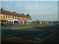
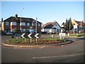
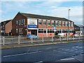
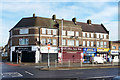
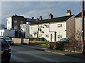
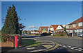
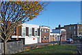
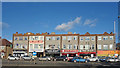
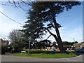
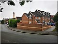
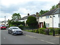
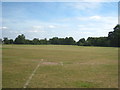
20 photos from this area
Area Information
Key information about the UB8 3AT including its size, population, and administrative classification.
- Area Type
- Postcode
- Area Size
- 1.5 hectares
- Population
- 1939
- Population Density
- 4767 people/km²
House Prices in UB8 3AT
20
Properties
£314,250
Average Sold Price
£76,000
Lowest Price
£525,000
Highest Price
Showing 20 properties
| Address | Type | Beds | Baths | Last Sale Price | Last Sale Date | |
|---|---|---|---|---|---|---|
| 36 Lees Road, Uxbridge, UB8 3AT | Bungalow | - | - | £500,000 | Oct 2020 | |
| 26 Lees Road, Uxbridge, UB8 3AT | Detached | 5 | 3 | £432,500 | Aug 2020 | |
| 40 Lees Road, Uxbridge, UB8 3AT | Bungalow | - | - | £525,000 | Aug 2018 | |
| 38 Lees Road, Uxbridge, UB8 3AT | Bungalow | 3 | 1 | £465,000 | Feb 2017 | |
| 28 Lees Road, Uxbridge, UB8 3AT | Bungalow | 3 | 1 | £505,000 | Jun 2016 | |
| 37 Lees Road, Uxbridge, UB8 3AT | Terraced | 3 | - | £380,000 | Nov 2015 | |
| 24 Lees Road, Uxbridge, UB8 3AT | Bungalow | 1 | - | £330,000 | Sep 2013 | |
| 22 Lees Road, Uxbridge, UB8 3AT | Bungalow | 5 | 1 | £290,000 | Jul 2013 | |
| 20 Lees Road, Uxbridge, UB8 3AT | Detached | 6 | 2 | £365,000 | Mar 2013 | |
| 42 Lees Road, Uxbridge, UB8 3AT | Bungalow | - | - | £330,000 | Nov 2009 |
Page 1 of 2
Energy Efficiency in UB8 3AT
Amenities
Schools
| Rank | School | Type | Entry gender | Ages |
|---|
Explore more schools in this area
Go to Schools tabDemographics
Household Size
Family (3-5 people)
most common
Accommodation Type
Houses
most common
Tenure
65
majority
Ethnic Group
White
most common
Religion
N/A
most common
Household Composition
N/A
most common
Age
47
median
Adults (30-64 years)
most common
Household Deprivation
N/A
with no deprivation
NS-SEC
29
in Lower managerial occupations
Explore more demographic insights in this area
Go to Demographics tabPlanning
Planning Constraints
- Flood RiskPremium
- Ramsar Wetland SitesPremium
- Area of Outstanding Natural BeautyPremium
- Protected Nature ReservePremium
- Protected WoodlandPremium