Area Overview for UB8 2DS
Photos of UB8 2DS
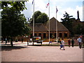
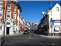
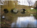
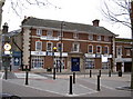
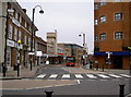
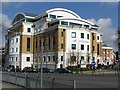
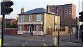
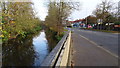
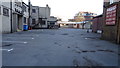
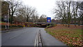
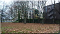
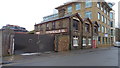
82 photos from this area
Area Information
Key information about the UB8 2DS including its size, population, and administrative classification.
- Area Type
- Postcode
- Area Size
- 1.1 hectares
- Population
- 2696
- Population Density
- 2936 people/km²
House Prices in UB8 2DS
41
Properties
£271,103
Average Sold Price
£27,889
Lowest Price
£452,000
Highest Price
Showing 41 properties
| Address | Type | Beds | Baths | Last Sale Price | Last Sale Date | |
|---|---|---|---|---|---|---|
| 165 Whitehall Road, Uxbridge, UB8 2DS | Terraced | 2 | 2 | £452,000 | Jul 2025 | |
| 127 Whitehall Road, Uxbridge, UB8 2DS | Terraced | 2 | 2 | £440,000 | Mar 2025 | |
| 181 Whitehall Road, Uxbridge, UB8 2DS | Terraced | 2 | 1 | £380,000 | Jun 2023 | |
| 135 Whitehall Road, Uxbridge, UB8 2DS | Terraced | 2 | 1 | £360,000 | Jan 2019 | |
| 187 Whitehall Road, Uxbridge, UB8 2DS | Terraced | 2 | 1 | £327,000 | Mar 2018 | |
| 155 Whitehall Road, Uxbridge, UB8 2DS | Terraced | 2 | 1 | £345,000 | Feb 2017 | |
| 163 Whitehall Road, Uxbridge, UB8 2DS | Terraced | 2 | 1 | £349,500 | Jul 2016 | |
| 153 Whitehall Road, Uxbridge, UB8 2DS | Terraced | 3 | 1 | £215,000 | Mar 2012 | |
| 175 Whitehall Road, Uxbridge, UB8 2DS | house | 2 | - | £227,000 | Sep 2010 | |
| 139 Whitehall Road, Uxbridge, UB8 2DS | house | 2 | - | £224,000 | May 2010 |
Page 1 of 5
Energy Efficiency in UB8 2DS
Amenities
Schools
| Rank | School | Type | Entry gender | Ages |
|---|
Explore more schools in this area
Go to Schools tabDemographics
Household Size
One person
most common
Accommodation Type
Houses
most common
Tenure
51
majority
Ethnic Group
White
most common
Religion
N/A
most common
Household Composition
N/A
most common
Age
22
median
Young Adults (15-29 years)
most common
Household Deprivation
N/A
with no deprivation
NS-SEC
15
in Lower managerial occupations
Explore more demographic insights in this area
Go to Demographics tabPlanning
Planning Constraints
- Flood RiskPremium
- Ramsar Wetland SitesPremium
- Area of Outstanding Natural BeautyPremium
- Protected Nature ReservePremium
- Protected WoodlandPremium