Area Overview for UB8 1AT
Photos of UB8 1AT
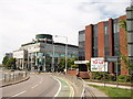
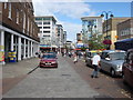
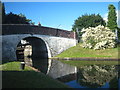
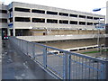
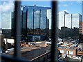
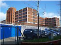
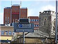
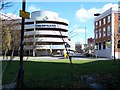
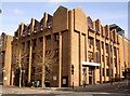
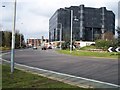
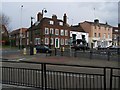
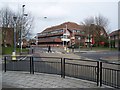
100 photos from this area
Area Information
Key information about the UB8 1AT including its size, population, and administrative classification.
- Area Type
- Postcode
- Area Size
- 7565 m²
- Population
- 2057
- Population Density
- 1730 people/km²
House Prices in UB8 1AT
22
Properties
£334,750
Average Sold Price
£90,000
Lowest Price
£565,000
Highest Price
Showing 22 properties
| Address | Type | Beds | Baths | Last Sale Price | Last Sale Date | |
|---|---|---|---|---|---|---|
| 4 Press Road, Uxbridge, UB8 1AT | Semi-detached | 3 | 1 | £411,000 | Mar 2023 | |
| 15 Press Road, Uxbridge, UB8 1AT | Retail | 2 | 1 | £390,000 | Dec 2022 | |
| 5 Press Road, Uxbridge, UB8 1AT | Terraced | 2 | 2 | £423,000 | Dec 2020 | |
| 27 Press Road, Uxbridge, UB8 1AT | Detached | 3 | 1 | £565,000 | Sep 2017 | |
| 7 Press Road, Uxbridge, UB8 1AT | Terraced | 2 | 1 | £410,000 | May 2017 | |
| 13 Press Road, Uxbridge, UB8 1AT | house | 4 | - | £240,000 | Dec 2010 | |
| 21A Press Road, Uxbridge, UB8 1AT | house | 4 | - | £495,000 | Jun 2010 | |
| 17 Press Road, Uxbridge, UB8 1AT | Flat | - | - | £189,000 | Feb 2004 | |
| 19 Press Road, Uxbridge, UB8 1AT | Maisonette | 2 | 1 | £90,000 | Jul 1999 | |
| 11 Press Road, Uxbridge, UB8 1AT | Detached | 3 | 1 | £134,500 | Dec 1996 |
Page 1 of 3
Energy Efficiency in UB8 1AT
Amenities
Schools
| Rank | School | Type | Entry gender | Ages |
|---|
Explore more schools in this area
Go to Schools tabDemographics
Household Size
Family (3-5 people)
most common
Accommodation Type
Houses
most common
Tenure
77
majority
Ethnic Group
White
most common
Religion
N/A
most common
Household Composition
N/A
most common
Age
47
median
Adults (30-64 years)
most common
Household Deprivation
N/A
with no deprivation
NS-SEC
49
in Lower managerial occupations
Explore more demographic insights in this area
Go to Demographics tabPlanning
Planning Constraints
- Flood RiskPremium
- Ramsar Wetland SitesPremium
- Area of Outstanding Natural BeautyPremium
- Protected Nature ReservePremium
- Protected WoodlandPremium