Area Overview for UB7 7PF
Photos of UB7 7PF
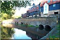
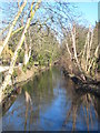
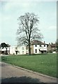
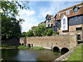
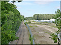
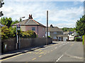
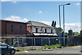
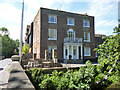
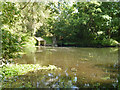
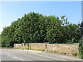
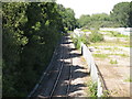
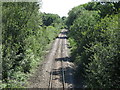
60 photos from this area
Area Information
Key information about the UB7 7PF including its size, population, and administrative classification.
- Area Type
- Postcode
- Area Size
- 5403 m²
- Population
- 1603
- Population Density
- 1830 people/km²
House Prices in UB7 7PF
16
Properties
£355,231
Average Sold Price
£107,500
Lowest Price
£522,000
Highest Price
Showing 16 properties
| Address | Type | Beds | Baths | Last Sale Price | Last Sale Date | |
|---|---|---|---|---|---|---|
| 30 Frays Close, West Drayton, UB7 7PF | Terraced | 3 | 1 | £490,000 | Mar 2025 | |
| 20 Frays Close, West Drayton, UB7 7PF | Terraced | 4 | 1 | £435,000 | May 2024 | |
| 4 Frays Close, West Drayton, UB7 7PF | Terraced | 3 | 1 | £450,000 | Apr 2022 | |
| 32 Frays Close, West Drayton, UB7 7PF | Terraced | 3 | 1 | £450,000 | Nov 2020 | |
| 26 Frays Close, West Drayton, UB7 7PF | Terraced | 3 | 1 | £427,500 | Jan 2019 | |
| 12 Frays Close, West Drayton, UB7 7PF | Terraced | 3 | 1 | £377,000 | Jan 2018 | |
| 6 Frays Close, West Drayton, UB7 7PF | Terraced | 3 | 1 | £297,000 | Jan 2015 | |
| 24 Frays Close, West Drayton, UB7 7PF | Terraced | 3 | 1 | £300,000 | Sep 2014 | |
| 14 Frays Close, West Drayton, UB7 7PF | house | - | - | £522,000 | Jul 2014 | |
| 10 Frays Close, West Drayton, UB7 7PF | house | 3 | - | £240,000 | Jun 2011 |
Page 1 of 2
Energy Efficiency in UB7 7PF
Amenities
Schools
| Rank | School | Type | Entry gender | Ages |
|---|
Explore more schools in this area
Go to Schools tabDemographics
Household Size
Family (3-5 people)
most common
Accommodation Type
Houses
most common
Tenure
54
majority
Ethnic Group
White
most common
Religion
N/A
most common
Household Composition
N/A
most common
Age
47
median
Adults (30-64 years)
most common
Household Deprivation
N/A
with no deprivation
NS-SEC
32
in Lower managerial occupations
Explore more demographic insights in this area
Go to Demographics tabPlanning
Planning Constraints
- Flood RiskPremium
- Ramsar Wetland SitesPremium
- Area of Outstanding Natural BeautyPremium
- Protected Nature ReservePremium
- Protected WoodlandPremium