Area Overview for UB7 7LA
Photos of UB7 7LA
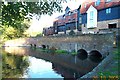
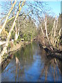
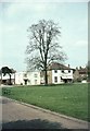
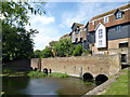
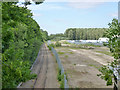
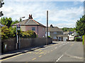
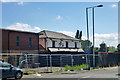
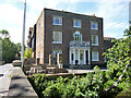
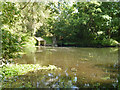
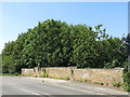
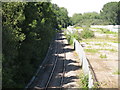
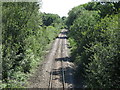
60 photos from this area
Area Information
Key information about the UB7 7LA including its size, population, and administrative classification.
- Area Type
- Postcode
- Area Size
- 3166 m²
- Population
- 1682
- Population Density
- 4920 people/km²
House Prices in UB7 7LA
35
Properties
£239,590
Average Sold Price
£119,950
Lowest Price
£400,000
Highest Price
Showing 35 properties
| Address | Type | Beds | Baths | Last Sale Price | Last Sale Date | |
|---|---|---|---|---|---|---|
| 77 Swan Road, West Drayton, UB7 7LA | Maisonette | 2 | 1 | £298,000 | Aug 2023 | |
| 80 Swan Road, West Drayton, UB7 7LA | Terraced | 2 | 1 | £400,000 | Feb 2022 | |
| 75 Swan Road, West Drayton, UB7 7LA | Flat | - | - | £170,000 | Jun 2008 | |
| 78 Swan Road, West Drayton, UB7 7LA | Terraced | 2 | 1 | £210,000 | Apr 2007 | |
| 79 Swan Road, West Drayton, UB7 7LA | Maisonette | 2 | 1 | £119,950 | Jan 2003 | |
| 76 Swan Road, West Drayton, UB7 7LA | house | - | - | - | - | |
| 85 Swan Road, West Drayton, UB7 7LA | Flat | - | - | - | - | |
| 85A Swan Road, West Drayton, UB7 7LA | Flat | - | - | - | - | |
| 89 Swan Road, West Drayton, UB7 7LA | Maisonette | - | - | - | - | |
| Flat 12, Swan House, 82 Swan Road, West Drayton, UB7 7LA | Flat | - | - | - | - |
Page 1 of 4
Energy Efficiency in UB7 7LA
Amenities
Schools
| Rank | School | Type | Entry gender | Ages |
|---|
Explore more schools in this area
Go to Schools tabDemographics
Household Size
Family (3-5 people)
most common
Accommodation Type
Houses
most common
Tenure
60
majority
Ethnic Group
White
most common
Religion
N/A
most common
Household Composition
N/A
most common
Age
47
median
Adults (30-64 years)
most common
Household Deprivation
N/A
with no deprivation
NS-SEC
33
in Lower managerial occupations
Explore more demographic insights in this area
Go to Demographics tabPlanning
Planning Constraints
- Flood RiskPremium
- Ramsar Wetland SitesPremium
- Area of Outstanding Natural BeautyPremium
- Protected Nature ReservePremium
- Protected WoodlandPremium