Area Overview for UB6 9TP
Photos of UB6 9TP
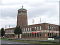
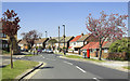

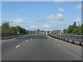
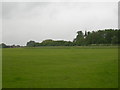
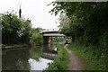
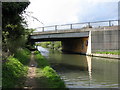
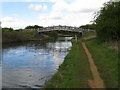
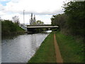
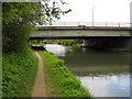
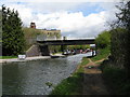
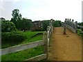
100 photos from this area
Area Information
Key information about the UB6 9TP including its size, population, and administrative classification.
- Area Type
- Postcode
- Area Size
- 1.6 hectares
- Population
- 1620
- Population Density
- 6248 people/km²
House Prices in UB6 9TP
36
Properties
£295,000
Average Sold Price
£124,000
Lowest Price
£525,000
Highest Price
Showing 36 properties
| Address | Type | Beds | Baths | Last Sale Price | Last Sale Date | |
|---|---|---|---|---|---|---|
| 212 Ferrymead Avenue, Greenford, UB6 9TP | Maisonette | 2 | 1 | £295,000 | Feb 2024 | |
| 181 Ferrymead Avenue, Greenford, UB6 9TP | Retail | 3 | 2 | £525,000 | Mar 2022 | |
| 226 Ferrymead Avenue, Greenford, UB6 9TP | Semi-detached | 3 | 1 | £465,000 | Aug 2019 | |
| 208 Ferrymead Avenue, Greenford, UB6 9TP | Maisonette | 2 | 1 | £325,000 | Sep 2016 | |
| 214 Ferrymead Avenue, Greenford, UB6 9TP | Detached | 3 | 1 | £325,000 | Mar 2006 | |
| 165 Ferrymead Avenue, Greenford, UB6 9TP | Terraced | - | - | £233,000 | Apr 2004 | |
| 204 Ferrymead Avenue, Greenford, UB6 9TP | Flat | 2 | 1 | £158,000 | Jul 2003 | |
| 161 Ferrymead Avenue, Greenford, UB6 9TP | Flat | 2 | 1 | £205,000 | Apr 2001 | |
| 163 Ferrymead Avenue, Greenford, UB6 9TP | Terraced | - | - | £124,000 | Aug 1999 | |
| 212A Ferrymead Avenue, Greenford, UB6 9TP | Flat | 2 | 1 | - | - |
Page 1 of 4
Energy Efficiency in UB6 9TP
Amenities
Schools
| Rank | School | Type | Entry gender | Ages |
|---|
Explore more schools in this area
Go to Schools tabDemographics
Household Size
Family (3-5 people)
most common
Accommodation Type
Flats
most common
Tenure
46
majority
Ethnic Group
White
most common
Religion
N/A
most common
Household Composition
N/A
most common
Age
47
median
Adults (30-64 years)
most common
Household Deprivation
N/A
with no deprivation
NS-SEC
21
in Lower managerial occupations
Explore more demographic insights in this area
Go to Demographics tabPlanning
Planning Constraints
- Flood RiskPremium
- Ramsar Wetland SitesPremium
- Area of Outstanding Natural BeautyPremium
- Protected Nature ReservePremium
- Protected WoodlandPremium