Area Overview for UB6 8SP
Photos of UB6 8SP
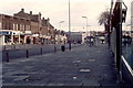
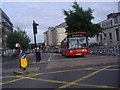
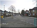
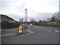
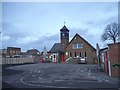
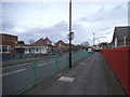
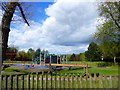
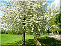
63 photos from this area
Area Information
Key information about the UB6 8SP including its size, population, and administrative classification.
- Area Type
- Postcode
- Area Size
- 1.2 hectares
- Population
- 2039
- Population Density
- 7605 people/km²
House Prices in UB6 8SP
33
Properties
£242,314
Average Sold Price
£10,340
Lowest Price
£610,000
Highest Price
Showing 33 properties
| Address | Type | Beds | Baths | Last Sale Price | Last Sale Date | |
|---|---|---|---|---|---|---|
| 39 Clifton Road, Greenford, UB6 8SP | Flat | - | - | £275,000 | May 2024 | |
| 9 Clifton Road, Greenford, UB6 8SP | house | - | - | £610,000 | Aug 2023 | |
| 23 Clifton Road, Greenford, UB6 8SP | Maisonette | - | - | £350,000 | Oct 2022 | |
| 59 Clifton Road, Greenford, UB6 8SP | Maisonette | 2 | 1 | £360,000 | Apr 2022 | |
| 7 Clifton Road, Greenford, UB6 8SP | Terraced | 3 | 1 | £490,000 | Feb 2021 | |
| 25 Clifton Road, Greenford, UB6 8SP | Flat | - | - | £10,340 | Jan 2020 | |
| 45 Clifton Road, Greenford, UB6 8SP | Flat | - | - | £385,000 | Aug 2018 | |
| 51 Clifton Road, Greenford, UB6 8SP | Maisonette | 2 | 1 | £310,500 | Aug 2018 | |
| 37 Clifton Road, Greenford, UB6 8SP | Maisonette | 2 | 1 | £327,000 | Mar 2018 | |
| 27 Clifton Road, Greenford, UB6 8SP | Flat | - | - | £266,000 | Mar 2015 |
Page 1 of 4
Energy Efficiency in UB6 8SP
Amenities
Schools
| Rank | School | Type | Entry gender | Ages |
|---|
Explore more schools in this area
Go to Schools tabDemographics
Household Size
Family (3-5 people)
most common
Accommodation Type
Houses
most common
Tenure
60
majority
Ethnic Group
White
most common
Religion
N/A
most common
Household Composition
N/A
most common
Age
47
median
Adults (30-64 years)
most common
Household Deprivation
N/A
with no deprivation
NS-SEC
27
in Lower managerial occupations
Explore more demographic insights in this area
Go to Demographics tabPlanning
Planning Constraints
- Flood RiskPremium
- Ramsar Wetland SitesPremium
- Area of Outstanding Natural BeautyPremium
- Protected Nature ReservePremium
- Protected WoodlandPremium