Area Overview for UB6 8QZ
Photos of UB6 8QZ
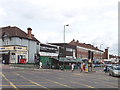
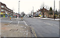
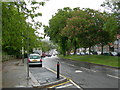
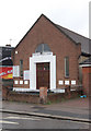
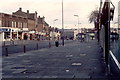
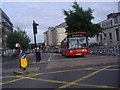
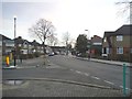
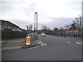
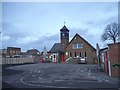
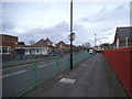
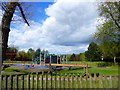
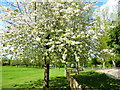
63 photos from this area
Area Information
Key information about the UB6 8QZ including its size, population, and administrative classification.
- Area Type
- Postcode
- Area Size
- 9668 m²
- Population
- 2039
- Population Density
- 7605 people/km²
House Prices in UB6 8QZ
27
Properties
£300,265
Average Sold Price
£84,000
Lowest Price
£500,000
Highest Price
Showing 27 properties
| Address | Type | Beds | Baths | Last Sale Price | Last Sale Date | |
|---|---|---|---|---|---|---|
| 255 Greenford Road, Greenford, UB6 8QZ | Semi-detached | 4 | 1 | £500,000 | Dec 2020 | |
| 257 Greenford Road, Greenford, UB6 8QZ | Semi-detached | 3 | 1 | £445,000 | Apr 2020 | |
| 245 Greenford Road, Greenford, UB6 8QZ | Semi-detached | 3 | 1 | £462,500 | Mar 2020 | |
| 253 Greenford Road, Greenford, UB6 8QZ | Semi-detached | 3 | 1 | £440,000 | Jan 2020 | |
| 247 Greenford Road, Greenford, UB6 8QZ | Semi-detached | 3 | 1 | £430,000 | Mar 2016 | |
| 251 Greenford Road, Greenford, UB6 8QZ | Semi-detached | 3 | 1 | £402,000 | Jan 2015 | |
| 265 Greenford Road, Greenford, UB6 8QZ | Semi-detached | 4 | 1 | £313,000 | Sep 2013 | |
| 279 Greenford Road, Greenford, UB6 8QZ | Semi-detached | 4 | 2 | £290,000 | Aug 2012 | |
| 271 Greenford Road, Greenford, UB6 8QZ | house | - | - | £270,000 | Jun 2012 | |
| 239 Greenford Road, Greenford, UB6 8QZ | Semi-detached | 3 | 1 | £240,000 | Feb 2009 |
Page 1 of 3
Energy Efficiency in UB6 8QZ
Amenities
Schools
| Rank | School | Type | Entry gender | Ages |
|---|
Explore more schools in this area
Go to Schools tabDemographics
Household Size
Family (3-5 people)
most common
Accommodation Type
Houses
most common
Tenure
60
majority
Ethnic Group
White
most common
Religion
N/A
most common
Household Composition
N/A
most common
Age
47
median
Adults (30-64 years)
most common
Household Deprivation
N/A
with no deprivation
NS-SEC
27
in Lower managerial occupations
Explore more demographic insights in this area
Go to Demographics tabPlanning
Planning Constraints
- Flood RiskPremium
- Ramsar Wetland SitesPremium
- Area of Outstanding Natural BeautyPremium
- Protected Nature ReservePremium
- Protected WoodlandPremium