Area Overview for UB6 8PT
Photos of UB6 8PT
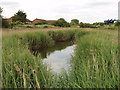


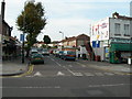
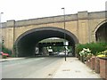

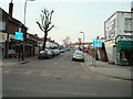
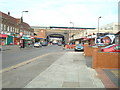
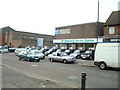
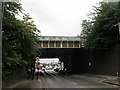
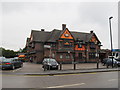
100 photos from this area
Area Information
Key information about the UB6 8PT including its size, population, and administrative classification.
- Area Type
- Postcode
- Area Size
- 1.7 hectares
- Population
- 1720
- Population Density
- 3139 people/km²
House Prices in UB6 8PT
38
Properties
£363,571
Average Sold Price
£145,000
Lowest Price
£715,000
Highest Price
Showing 38 properties
| Address | Type | Beds | Baths | Last Sale Price | Last Sale Date | |
|---|---|---|---|---|---|---|
| 350 Oldfield Lane North, Greenford, UB6 8PT | Semi-detached | 3 | 2 | £415,000 | Mar 2025 | |
| 356 Oldfield Lane North, Greenford, UB6 8PT | Semi-detached | 5 | 2 | £600,000 | Dec 2022 | |
| 324 Oldfield Lane North, Greenford, UB6 8PT | Semi-detached | 3 | 1 | £480,000 | Oct 2020 | |
| 326 Oldfield Lane North, Greenford, UB6 8PT | Flat | 3 | 1 | £423,000 | Jan 2015 | |
| 312 Oldfield Lane North, Greenford, UB6 8PT | Flat | 7 | 1 | £715,000 | Aug 2014 | |
| 340 Oldfield Lane North, Greenford, UB6 8PT | house | 3 | - | £325,000 | Feb 2012 | |
| 332 Oldfield Lane North, Greenford, UB6 8PT | house | 3 | - | £333,000 | Jul 2010 | |
| 366 Oldfield Lane North, Greenford, UB6 8PT | house | 3 | - | £250,000 | Mar 2007 | |
| 336 Oldfield Lane North, Greenford, UB6 8PT | Flat | 3 | 1 | £275,000 | Mar 2007 | |
| 328 Oldfield Lane North, Greenford, UB6 8PT | Semi-detached | 4 | 1 | £320,000 | Dec 2006 |
Page 1 of 4
Energy Efficiency in UB6 8PT
Amenities
Schools
| Rank | School | Type | Entry gender | Ages |
|---|
Explore more schools in this area
Go to Schools tabDemographics
Household Size
Family (3-5 people)
most common
Accommodation Type
Houses
most common
Tenure
51
majority
Ethnic Group
White
most common
Religion
N/A
most common
Household Composition
N/A
most common
Age
47
median
Adults (30-64 years)
most common
Household Deprivation
N/A
with no deprivation
NS-SEC
27
in Lower managerial occupations
Explore more demographic insights in this area
Go to Demographics tabPlanning
Planning Constraints
- Flood RiskPremium
- Ramsar Wetland SitesPremium
- Area of Outstanding Natural BeautyPremium
- Protected Nature ReservePremium
- Protected WoodlandPremium