Area Overview for UB6 8DH
Photos of UB6 8DH
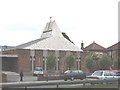
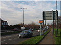
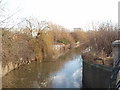
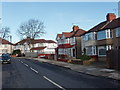

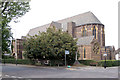
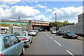
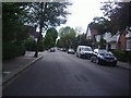
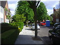
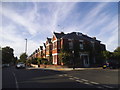

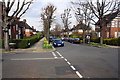
57 photos from this area
Area Information
Key information about the UB6 8DH including its size, population, and administrative classification.
- Area Type
- Postcode
- Area Size
- 1.9 hectares
- Population
- 1972
- Population Density
- 2933 people/km²
House Prices in UB6 8DH
10
Properties
£392,488
Average Sold Price
£109,950
Lowest Price
£535,000
Highest Price
Showing 10 properties
| Address | Type | Beds | Baths | Last Sale Price | Last Sale Date | |
|---|---|---|---|---|---|---|
| 5 Alperton Lane, Perivale, UB6 8DH | Semi-detached | 3 | 1 | £530,000 | Jan 2024 | |
| 7 Alperton Lane, Perivale, UB6 8DH | Flat | 3 | 1 | £535,000 | Oct 2022 | |
| 9 Alperton Lane, Perivale, UB6 8DH | Semi-detached | 3 | 1 | £395,000 | Oct 2015 | |
| 3 Alperton Lane, Perivale, UB6 8DH | house | - | - | £109,950 | Aug 1998 | |
| 11 Alperton Lane, Perivale, UB6 8DH | Semi-detached | 4 | 1 | - | - | |
| Annexe, 1 Alperton Lane, Perivale, UB6 8DH | Flat | 6 | - | - | - | |
| First Floor Flat, 1 Alperton Lane, Perivale, UB6 8DH | Flat | - | - | - | - | |
| Flat 1, 1 Alperton Lane, Perivale, UB6 8DH | Flat | - | - | - | - | |
| Flat 2, 1 Alperton Lane, Perivale, UB6 8DH | Flat | - | - | - | - | |
| Flat At, The Lightning Ph, Alperton Lane, Perivale, UB6 8DH | Flat | - | - | - | - |
Energy Efficiency in UB6 8DH
Amenities
Schools
| Rank | School | Type | Entry gender | Ages |
|---|
Explore more schools in this area
Go to Schools tabDemographics
Household Size
Family (3-5 people)
most common
Accommodation Type
Houses
most common
Tenure
50
majority
Ethnic Group
White
most common
Religion
N/A
most common
Household Composition
N/A
most common
Age
47
median
Adults (30-64 years)
most common
Household Deprivation
N/A
with no deprivation
NS-SEC
27
in Lower managerial occupations
Explore more demographic insights in this area
Go to Demographics tabPlanning
Planning Constraints
- Flood RiskPremium
- Ramsar Wetland SitesPremium
- Area of Outstanding Natural BeautyPremium
- Protected Nature ReservePremium
- Protected WoodlandPremium