Area Overview for UB6 0JU
Photos of UB6 0JU
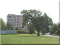
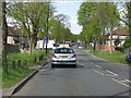
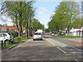
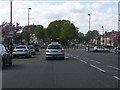
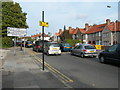
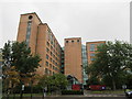
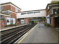
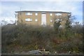
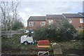
65 photos from this area
Area Information
Key information about the UB6 0JU including its size, population, and administrative classification.
- Area Type
- Postcode
- Area Size
- 1.0 hectares
- Population
- 1968
- Population Density
- 9605 people/km²
House Prices in UB6 0JU
21
Properties
£283,895
Average Sold Price
£117,000
Lowest Price
£565,000
Highest Price
Showing 21 properties
| Address | Type | Beds | Baths | Last Sale Price | Last Sale Date | |
|---|---|---|---|---|---|---|
| 391 Whitton Avenue East, Greenford, UB6 0JU | Semi-detached | 4 | 2 | £565,000 | Jul 2022 | |
| 387 Whitton Avenue East, Greenford, UB6 0JU | Terraced | 4 | 2 | £560,000 | Jun 2018 | |
| 389 Whitton Avenue East, Greenford, UB6 0JU | house | - | - | £290,000 | May 2008 | |
| 395 Whitton Avenue East, Greenford, UB6 0JU | house | - | - | £309,950 | Feb 2008 | |
| 401 Whitton Avenue East, Greenford, UB6 0JU | house | - | - | £272,000 | Jul 2004 | |
| 405 Whitton Avenue East, Greenford, UB6 0JU | Terraced | - | - | £215,000 | Nov 2002 | |
| 383 Whitton Avenue East, Greenford, UB6 0JU | Terraced | - | - | £158,000 | Jul 2001 | |
| 413 Whitton Avenue East, Greenford, UB6 0JU | Terraced | - | - | £140,000 | Jan 2001 | |
| 415 Whitton Avenue East, Greenford, UB6 0JU | Terraced | - | - | £212,000 | Oct 2000 | |
| 403 Whitton Avenue East, Greenford, UB6 0JU | Terraced | - | - | £117,000 | May 1999 |
Page 1 of 3
Energy Efficiency in UB6 0JU
Amenities
Schools
| Rank | School | Type | Entry gender | Ages |
|---|
Explore more schools in this area
Go to Schools tabDemographics
Household Size
Family (3-5 people)
most common
Accommodation Type
Houses
most common
Tenure
61
majority
Ethnic Group
asian_total
most common
Religion
N/A
most common
Household Composition
N/A
most common
Age
47
median
Adults (30-64 years)
most common
Household Deprivation
N/A
with no deprivation
NS-SEC
30
in Lower managerial occupations
Explore more demographic insights in this area
Go to Demographics tabPlanning
Planning Constraints
- Flood RiskPremium
- Ramsar Wetland SitesPremium
- Area of Outstanding Natural BeautyPremium
- Protected Nature ReservePremium
- Protected WoodlandPremium