Area Overview for UB6 0HW
Photos of UB6 0HW
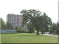
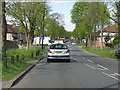
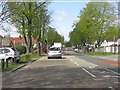
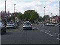
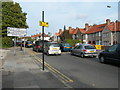
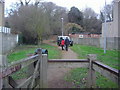
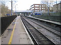
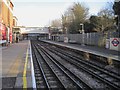
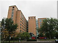
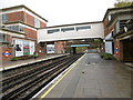
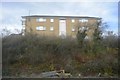
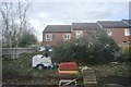
65 photos from this area
Area Information
Key information about the UB6 0HW including its size, population, and administrative classification.
- Area Type
- Postcode
- Area Size
- 1.4 hectares
- Population
- 1968
- Population Density
- 9605 people/km²
House Prices in UB6 0HW
52
Properties
£230,052
Average Sold Price
£59,995
Lowest Price
£535,000
Highest Price
Showing 52 properties
| Address | Type | Beds | Baths | Last Sale Price | Last Sale Date | |
|---|---|---|---|---|---|---|
| 1472 Greenford Road, Greenford, UB6 0HW | Terraced | 3 | 1 | £535,000 | May 2025 | |
| 1458 Greenford Road, Greenford, UB6 0HW | house | - | - | £230,000 | Apr 2025 | |
| 1448 Greenford Road, Greenford, UB6 0HW | Terraced | 3 | 1 | £535,000 | Nov 2019 | |
| 1428 Greenford Road, Greenford, UB6 0HW | Terraced | 3 | - | £420,000 | Mar 2016 | |
| 1468 Greenford Road, Greenford, UB6 0HW | Terraced | 3 | 1 | £366,000 | Jan 2015 | |
| 1420 Greenford Road, Greenford, UB6 0HW | Terraced | 3 | - | £343,000 | Nov 2014 | |
| 1434 Greenford Road, Greenford, UB6 0HW | house | - | - | £268,000 | Jan 2013 | |
| 1474 Greenford Road, Greenford, UB6 0HW | house | 3 | - | £267,000 | May 2012 | |
| 1424 Greenford Road, Greenford, UB6 0HW | Terraced | - | - | £210,000 | Mar 2007 | |
| 1414 Greenford Road, Greenford, UB6 0HW | Terraced | 3 | 2 | £243,000 | Mar 2007 |
Page 1 of 6
Energy Efficiency in UB6 0HW
Amenities
Schools
| Rank | School | Type | Entry gender | Ages |
|---|
Explore more schools in this area
Go to Schools tabDemographics
Household Size
Family (3-5 people)
most common
Accommodation Type
Houses
most common
Tenure
61
majority
Ethnic Group
asian_total
most common
Religion
N/A
most common
Household Composition
N/A
most common
Age
47
median
Adults (30-64 years)
most common
Household Deprivation
N/A
with no deprivation
NS-SEC
30
in Lower managerial occupations
Explore more demographic insights in this area
Go to Demographics tabPlanning
Planning Constraints
- Flood RiskPremium
- Ramsar Wetland SitesPremium
- Area of Outstanding Natural BeautyPremium
- Protected Nature ReservePremium
- Protected WoodlandPremium