Area Overview for UB5 6PX
Photos of UB5 6PX
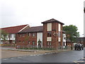
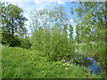
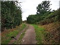
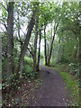
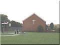
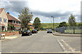
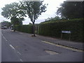
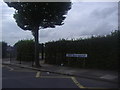
20 photos from this area
Area Information
Key information about the UB5 6PX including its size, population, and administrative classification.
- Area Type
- Postcode
- Area Size
- 11.4 hectares
- Population
- 1983
- Population Density
- 2084 people/km²
House Prices in UB5 6PX
40
Properties
£262,989
Average Sold Price
£65,000
Lowest Price
£575,000
Highest Price
Showing 40 properties
| Address | Type | Beds | Baths | Last Sale Price | Last Sale Date | |
|---|---|---|---|---|---|---|
| 87 Bournemead Avenue, Northolt, UB5 6PX | Maisonette | 2 | 1 | £340,000 | Oct 2025 | |
| 97 Bournemead Avenue, Northolt, UB5 6PX | Maisonette | 2 | 1 | £323,000 | Dec 2024 | |
| 69 Bournemead Avenue, Northolt, UB5 6PX | Semi-detached | 3 | 1 | £545,000 | Aug 2024 | |
| 81 Bournemead Avenue, Northolt, UB5 6PX | Semi-detached | 4 | 2 | £575,000 | Aug 2024 | |
| 99 Bournemead Avenue, Northolt, UB5 6PX | Flat | 2 | 1 | £300,000 | Jan 2023 | |
| 77 Bournemead Avenue, Northolt, UB5 6PX | house | - | - | £480,000 | Feb 2022 | |
| 46 Bournemead Avenue, Northolt, UB5 6PX | Maisonette | 2 | 1 | £280,000 | Sep 2019 | |
| 55 Bournemead Avenue, Northolt, UB5 6PX | house | 3 | - | £435,000 | May 2019 | |
| 38 Bournemead Avenue, Northolt, UB5 6PX | Flat | 2 | 1 | £335,000 | Aug 2017 | |
| 59 Bournemead Avenue, Northolt, UB5 6PX | house | - | - | £437,000 | Dec 2016 |
Page 1 of 4
Energy Efficiency in UB5 6PX
Amenities
Schools
| Rank | School | Type | Entry gender | Ages |
|---|
Explore more schools in this area
Go to Schools tabDemographics
Household Size
Family (3-5 people)
most common
Accommodation Type
Houses
most common
Tenure
57
majority
Ethnic Group
White
most common
Religion
N/A
most common
Household Composition
N/A
most common
Age
47
median
Adults (30-64 years)
most common
Household Deprivation
N/A
with no deprivation
NS-SEC
22
in Lower managerial occupations
Explore more demographic insights in this area
Go to Demographics tabPlanning
Planning Constraints
- Flood RiskPremium
- Ramsar Wetland SitesPremium
- Area of Outstanding Natural BeautyPremium
- Protected Nature ReservePremium
- Protected WoodlandPremium