Area Overview for UB3 5HB
Photos of UB3 5HB
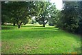
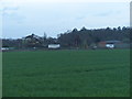
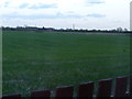
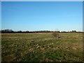
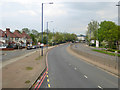
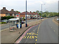
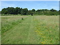
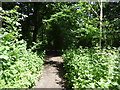
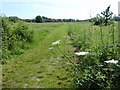
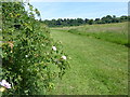
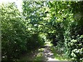
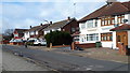
30 photos from this area
Area Information
Key information about the UB3 5HB including its size, population, and administrative classification.
- Area Type
- Postcode
- Area Size
- 7.5 hectares
- Population
- 2041
- Population Density
- 784 people/km²
House Prices in UB3 5HB
12
Properties
£276,188
Average Sold Price
£72,000
Lowest Price
£430,000
Highest Price
Showing 12 properties
| Address | Type | Beds | Baths | Last Sale Price | Last Sale Date | |
|---|---|---|---|---|---|---|
| 112 Cranford Lane, Hayes, UB3 5HB | house | - | - | £390,000 | Dec 2022 | |
| 122 Cranford Lane, Hayes, UB3 5HB | house | 3 | 2 | £427,000 | Oct 2021 | |
| 104 Cranford Lane, Hayes, UB3 5HB | house | 3 | - | £430,000 | Sep 2021 | |
| 120 Cranford Lane, Hayes, UB3 5HB | house | 2 | - | £215,000 | Oct 2010 | |
| 114 Cranford Lane, Hayes, UB3 5HB | Terraced | 2 | 1 | £228,500 | Oct 2010 | |
| 108 Cranford Lane, Hayes, UB3 5HB | Semi-detached | - | - | £205,000 | Sep 2005 | |
| 100 Cranford Lane, Hayes, UB3 5HB | Semi-detached | - | - | £242,000 | Sep 2003 | |
| 116 Cranford Lane, Hayes, UB3 5HB | Semi-detached | - | - | £72,000 | Feb 1995 | |
| 102 Cranford Lane, Hayes, UB3 5HB | Semi-detached | 2 | - | - | - | |
| 118 Cranford Lane, Hayes, UB3 5HB | house | - | - | - | - |
Page 1 of 2
Energy Efficiency in UB3 5HB
Amenities
Schools
| Rank | School | Type | Entry gender | Ages |
|---|
Explore more schools in this area
Go to Schools tabDemographics
Household Size
Family (3-5 people)
most common
Accommodation Type
Houses
most common
Tenure
43
majority
Ethnic Group
asian_total
most common
Religion
N/A
most common
Household Composition
N/A
most common
Age
47
median
Adults (30-64 years)
most common
Household Deprivation
N/A
with no deprivation
NS-SEC
22
in Lower managerial occupations
Explore more demographic insights in this area
Go to Demographics tabPlanning
Planning Constraints
- Flood RiskPremium
- Ramsar Wetland SitesPremium
- Area of Outstanding Natural BeautyPremium
- Protected Nature ReservePremium
- Protected WoodlandPremium