Area Overview for UB3 5DL
Photos of UB3 5DL
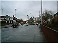
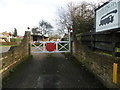
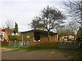
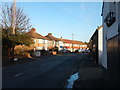
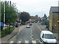
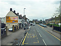
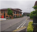
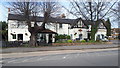
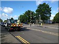
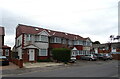
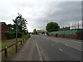

26 photos from this area
Area Information
Key information about the UB3 5DL including its size, population, and administrative classification.
- Area Type
- Postcode
- Area Size
- 8043 m²
- Population
- 2146
- Population Density
- 5639 people/km²
House Prices in UB3 5DL
25
Properties
£144,542
Average Sold Price
£34,500
Lowest Price
£245,000
Highest Price
Showing 25 properties
| Address | Type | Beds | Baths | Last Sale Price | Last Sale Date | |
|---|---|---|---|---|---|---|
| 479 High Street, Harlington, Hayes, UB3 5DL | Flat | - | - | £245,000 | Apr 2016 | |
| 493 High Street, Harlington, Hayes, UB3 5DL | Flat | 2 | 1 | £219,000 | Sep 2015 | |
| 495 High Street, Harlington, Hayes, UB3 5DL | Flat | - | - | £230,000 | Aug 2015 | |
| 491 High Street, Harlington, Hayes, UB3 5DL | Flat | 2 | 1 | £181,000 | Jun 2008 | |
| 483 High Street, Harlington, Hayes, UB3 5DL | Flat | - | - | £153,500 | Aug 2007 | |
| 481 High Street, Harlington, Hayes, UB3 5DL | Flat | - | - | £130,000 | Jan 2007 | |
| 477 High Street, Harlington, Hayes, UB3 5DL | Flat | - | - | £130,000 | Oct 2004 | |
| 485 High Street, Harlington, Hayes, UB3 5DL | Flat | 2 | 1 | £149,000 | Apr 2004 | |
| 487 High Street, Harlington, Hayes, UB3 5DL | Flat | - | - | £127,000 | Dec 2003 | |
| 489 High Street, Harlington, Hayes, UB3 5DL | Flat | - | - | £85,500 | Dec 2000 |
Page 1 of 3
Energy Efficiency in UB3 5DL
Amenities
Schools
| Rank | School | Type | Entry gender | Ages |
|---|
Explore more schools in this area
Go to Schools tabDemographics
Household Size
Family (3-5 people)
most common
Accommodation Type
Flats
most common
Tenure
38
majority
Ethnic Group
asian_total
most common
Religion
N/A
most common
Household Composition
N/A
most common
Age
47
median
Adults (30-64 years)
most common
Household Deprivation
N/A
with no deprivation
NS-SEC
18
in Lower managerial occupations
Explore more demographic insights in this area
Go to Demographics tabPlanning
Planning Constraints
- Flood RiskPremium
- Ramsar Wetland SitesPremium
- Area of Outstanding Natural BeautyPremium
- Protected Nature ReservePremium
- Protected WoodlandPremium