Area Overview for UB2 5QA
Photos of UB2 5QA
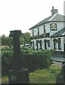
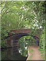
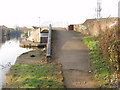
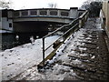
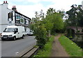
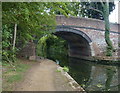
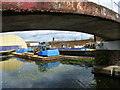
69 photos from this area
Area Information
Key information about the UB2 5QA including its size, population, and administrative classification.
- Area Type
- Postcode
- Area Size
- 1.3 hectares
- Population
- 2555
- Population Density
- 19883 people/km²
House Prices in UB2 5QA
63
Properties
£203,000
Average Sold Price
£28,000
Lowest Price
£425,000
Highest Price
Showing 63 properties
| Address | Type | Beds | Baths | Last Sale Price | Last Sale Date | |
|---|---|---|---|---|---|---|
| 36 Lea Road, Southall, UB2 5QA | Terraced | 3 | 1 | £425,000 | Nov 2023 | |
| 47 Lea Road, Southall, UB2 5QA | Terraced | 2 | 1 | £347,000 | Jun 2020 | |
| 48 Lea Road, Southall, UB2 5QA | Terraced | 4 | 3 | £325,000 | May 2017 | |
| 21 Lea Road, Southall, UB2 5QA | Terraced | 2 | 1 | £295,000 | Aug 2016 | |
| 38 Lea Road, Southall, UB2 5QA | Terraced | 3 | 1 | £325,000 | Sep 2015 | |
| 64 Lea Road, Southall, UB2 5QA | house | 3 | - | £220,000 | Aug 2012 | |
| 26 Lea Road, Southall, UB2 5QA | house | - | - | £219,000 | Feb 2010 | |
| 31 Lea Road, Southall, UB2 5QA | house | - | - | £222,000 | Feb 2008 | |
| 40 Lea Road, Southall, UB2 5QA | Terraced | 3 | 1 | £250,000 | May 2007 | |
| 37 Lea Road, Southall, UB2 5QA | Terraced | - | - | £208,000 | Apr 2006 |
Page 1 of 7
Energy Efficiency in UB2 5QA
Amenities
Schools
| Rank | School | Type | Entry gender | Ages |
|---|
Explore more schools in this area
Go to Schools tabDemographics
Household Size
Family (3-5 people)
most common
Accommodation Type
Houses
most common
Tenure
46
majority
Ethnic Group
asian_total
most common
Religion
N/A
most common
Household Composition
N/A
most common
Age
47
median
Adults (30-64 years)
most common
Household Deprivation
N/A
with no deprivation
NS-SEC
16
in Lower managerial occupations
Explore more demographic insights in this area
Go to Demographics tabPlanning
Planning Constraints
- Flood RiskPremium
- Ramsar Wetland SitesPremium
- Area of Outstanding Natural BeautyPremium
- Protected Nature ReservePremium
- Protected WoodlandPremium