Area Overview for UB2 5ED
Photos of UB2 5ED
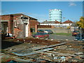
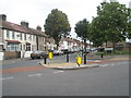
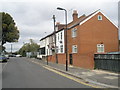
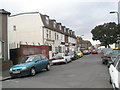
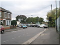
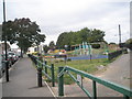
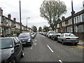
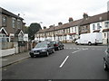
96 photos from this area
Area Information
Key information about the UB2 5ED including its size, population, and administrative classification.
- Area Type
- Postcode
- Area Size
- 4508 m²
- Population
- 2309
- Population Density
- 11403 people/km²
House Prices in UB2 5ED
25
Properties
£267,500
Average Sold Price
£200,000
Lowest Price
£320,000
Highest Price
Showing 25 properties
| Address | Type | Beds | Baths | Last Sale Price | Last Sale Date | |
|---|---|---|---|---|---|---|
| 154 Western Road, Southall, UB2 5ED | house | - | - | £300,000 | Jul 2024 | |
| 166A Western Road, Southall, UB2 5ED | Flat | - | - | £320,000 | Aug 2013 | |
| 152 Western Road, Southall, UB2 5ED | Terraced | 3 | 2 | £250,000 | Dec 2007 | |
| 158 WESTERN ROAD, Southall, UB2 5ED | Terraced | - | - | £200,000 | May 2003 | |
| First Floor, 168 Western Road, Southall, UB2 5ED | Flat | 2 | 1 | - | - | |
| First Floor Flat, 156 Western Road, Southall, UB2 5ED | Terraced | 2 | 2 | - | - | |
| Flat Above Shop, 170 Western Road, Southall, UB2 5ED | Maisonette | - | - | - | - | |
| Flat 2, Prince Of Wales, 202 Western Road, Southall, UB2 5ED | Flat | - | - | - | - | |
| Flat 1, Prince Of Wales, 202 Western Road, Southall, UB2 5ED | Flat | - | - | - | - | |
| Ground Floor Flat, 156 Western Road, Southall, UB2 5ED | Flat | - | - | - | - |
Page 1 of 3
Energy Efficiency in UB2 5ED
Amenities
Schools
| Rank | School | Type | Entry gender | Ages |
|---|
Explore more schools in this area
Go to Schools tabDemographics
Household Size
Family (3-5 people)
most common
Accommodation Type
Houses
most common
Tenure
44
majority
Ethnic Group
asian_total
most common
Religion
N/A
most common
Household Composition
N/A
most common
Age
47
median
Adults (30-64 years)
most common
Household Deprivation
N/A
with no deprivation
NS-SEC
13
in Lower managerial occupations
Explore more demographic insights in this area
Go to Demographics tabPlanning
Planning Constraints
- Flood RiskPremium
- Ramsar Wetland SitesPremium
- Area of Outstanding Natural BeautyPremium
- Protected Nature ReservePremium
- Protected WoodlandPremium