Area Overview for UB2 5AP
Photos of UB2 5AP
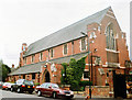
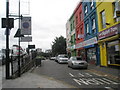
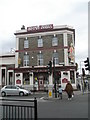
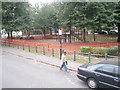
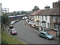
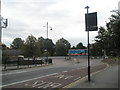
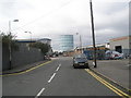
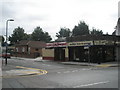
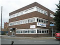
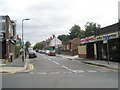
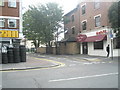
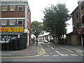
100 photos from this area
Area Information
Key information about the UB2 5AP including its size, population, and administrative classification.
- Area Type
- Postcode
- Area Size
- 5320 m²
- Population
- 2710
- Population Density
- 13324 people/km²
House Prices in UB2 5AP
37
Properties
£205,728
Average Sold Price
£53,000
Lowest Price
£330,000
Highest Price
Showing 37 properties
| Address | Type | Beds | Baths | Last Sale Price | Last Sale Date | |
|---|---|---|---|---|---|---|
| 31 Waltham Road, Southall, UB2 5AP | Flat | - | - | £240,000 | Sep 2025 | |
| 33 Waltham Road, Southall, UB2 5AP | Flat | - | - | £254,950 | Dec 2024 | |
| 13A Waltham Road, Southall, UB2 5AP | Flat | - | - | £307,500 | Dec 2023 | |
| 17A Waltham Road, Southall, UB2 5AP | Maisonette | - | - | £330,000 | Oct 2021 | |
| 33A Waltham Road, Southall, UB2 5AP | Flat | - | - | £242,200 | Mar 2015 | |
| 29 Waltham Road, Southall, UB2 5AP | Semi-detached | 4 | - | £330,000 | Sep 2014 | |
| 11 Waltham Road, Southall, UB2 5AP | Maisonette | 3 | 2 | £291,000 | Aug 2014 | |
| 15A Waltham Road, Southall, UB2 5AP | Maisonette | - | - | £136,500 | Aug 2013 | |
| 37A Waltham Road, Southall, UB2 5AP | Flat | 3 | 1 | £147,000 | Sep 2010 | |
| 1 Waltham Road, Southall, UB2 5AP | house | - | - | £227,000 | Aug 2008 |
Page 1 of 4
Energy Efficiency in UB2 5AP
Amenities
Schools
| Rank | School | Type | Entry gender | Ages |
|---|
Explore more schools in this area
Go to Schools tabDemographics
Household Size
Family (3-5 people)
most common
Accommodation Type
Flats
most common
Tenure
27
majority
Ethnic Group
asian_total
most common
Religion
N/A
most common
Household Composition
N/A
most common
Age
47
median
Adults (30-64 years)
most common
Household Deprivation
N/A
with no deprivation
NS-SEC
13
in Lower managerial occupations
Explore more demographic insights in this area
Go to Demographics tabPlanning
Planning Constraints
- Flood RiskPremium
- Ramsar Wetland SitesPremium
- Area of Outstanding Natural BeautyPremium
- Protected Nature ReservePremium
- Protected WoodlandPremium