Area Overview for UB10 9AJ
Photos of UB10 9AJ
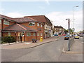
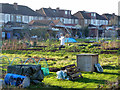
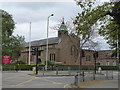
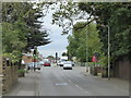
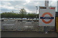
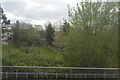
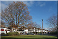
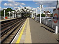
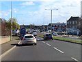
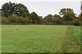
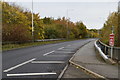
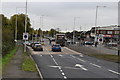
28 photos from this area
Area Information
Key information about the UB10 9AJ including its size, population, and administrative classification.
- Area Type
- Postcode
- Area Size
- 1.3 hectares
- Population
- 1504
- Population Density
- 7125 people/km²
House Prices in UB10 9AJ
42
Properties
£387,981
Average Sold Price
£97,500
Lowest Price
£770,000
Highest Price
Showing 42 properties
| Address | Type | Beds | Baths | Last Sale Price | Last Sale Date | |
|---|---|---|---|---|---|---|
| 88 Victoria Avenue, Uxbridge, UB10 9AJ | Terraced | 3 | 1 | £575,000 | Jul 2025 | |
| 82 Victoria Avenue, Uxbridge, UB10 9AJ | Terraced | 3 | 1 | £551,000 | Jun 2025 | |
| 65 Victoria Avenue, Uxbridge, UB10 9AJ | Flat | 5 | 2 | £770,000 | Apr 2025 | |
| 80 Victoria Avenue, Uxbridge, UB10 9AJ | Semi-detached | 3 | 3 | £510,000 | Mar 2024 | |
| 67 Victoria Avenue, Uxbridge, UB10 9AJ | Terraced | 4 | 2 | £530,000 | Feb 2024 | |
| 94 Victoria Avenue, Uxbridge, UB10 9AJ | Terraced | 3 | 1 | £500,000 | Oct 2023 | |
| 64 Victoria Avenue, Uxbridge, UB10 9AJ | Semi-detached | 3 | 1 | £587,000 | Sep 2022 | |
| 101 Victoria Avenue, Uxbridge, UB10 9AJ | house | - | - | £510,000 | Feb 2021 | |
| 70 Victoria Avenue, Uxbridge, UB10 9AJ | house | - | - | £475,000 | Feb 2021 | |
| 103 Victoria Avenue, Uxbridge, UB10 9AJ | house | - | - | £505,000 | Dec 2020 |
Page 1 of 5
Energy Efficiency in UB10 9AJ
Amenities
Schools
| Rank | School | Type | Entry gender | Ages |
|---|
Explore more schools in this area
Go to Schools tabDemographics
Household Size
Family (3-5 people)
most common
Accommodation Type
Houses
most common
Tenure
74
majority
Ethnic Group
White
most common
Religion
N/A
most common
Household Composition
N/A
most common
Age
47
median
Adults (30-64 years)
most common
Household Deprivation
N/A
with no deprivation
NS-SEC
38
in Lower managerial occupations
Explore more demographic insights in this area
Go to Demographics tabPlanning
Planning Constraints
- Flood RiskPremium
- Ramsar Wetland SitesPremium
- Area of Outstanding Natural BeautyPremium
- Protected Nature ReservePremium
- Protected WoodlandPremium