Area Overview for UB10 8TL
Photos of UB10 8TL
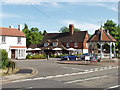
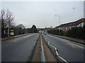
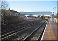
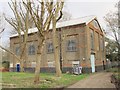

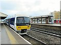

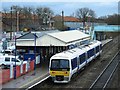

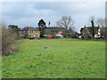
100 photos from this area
Area Information
Key information about the UB10 8TL including its size, population, and administrative classification.
- Area Type
- Postcode
- Area Size
- 1.6 hectares
- Population
- 2483
- Population Density
- 5495 people/km²
House Prices in UB10 8TL
33
Properties
£367,818
Average Sold Price
£90,000
Lowest Price
£895,000
Highest Price
Showing 33 properties
| Address | Type | Beds | Baths | Last Sale Price | Last Sale Date | |
|---|---|---|---|---|---|---|
| 65 Aylsham Drive, Ickenham, UB10 8TL | Terraced | 3 | 3 | £480,000 | Nov 2025 | |
| 53 Aylsham Drive, Ickenham, UB10 8TL | Terraced | 3 | 1 | £505,000 | Mar 2025 | |
| 42 Aylsham Drive, Ickenham, UB10 8TL | Terraced | 2 | - | £440,000 | Aug 2023 | |
| 36 Aylsham Drive, Ickenham, UB10 8TL | Retail | 5 | 3 | £895,000 | Oct 2022 | |
| 49 Aylsham Drive, Ickenham, UB10 8TL | Terraced | 3 | 1 | £480,000 | Jun 2021 | |
| 45 Aylsham Drive, Ickenham, UB10 8TL | Semi-detached | 3 | 2 | £420,000 | May 2021 | |
| 34 Aylsham Drive, Ickenham, UB10 8TL | Semi-detached | 3 | 1 | £700,000 | Jan 2021 | |
| 47 Aylsham Drive, Ickenham, UB10 8TL | Terraced | 3 | 1 | £450,000 | Jun 2020 | |
| 75 Aylsham Drive, Ickenham, UB10 8TL | Semi-detached | 3 | 1 | £460,000 | Jun 2016 | |
| 85 Aylsham Drive, Ickenham, UB10 8TL | house | 3 | - | £395,000 | Jan 2015 |
Page 1 of 4
Energy Efficiency in UB10 8TL
Amenities
Schools
| Rank | School | Type | Entry gender | Ages |
|---|
Explore more schools in this area
Go to Schools tabDemographics
Household Size
Family (3-5 people)
most common
Accommodation Type
Houses
most common
Tenure
65
majority
Ethnic Group
White
most common
Religion
N/A
most common
Household Composition
N/A
most common
Age
47
median
Adults (30-64 years)
most common
Household Deprivation
N/A
with no deprivation
NS-SEC
51
in Lower managerial occupations
Explore more demographic insights in this area
Go to Demographics tabPlanning
Planning Constraints
- Flood RiskPremium
- Ramsar Wetland SitesPremium
- Area of Outstanding Natural BeautyPremium
- Protected Nature ReservePremium
- Protected WoodlandPremium