Area Overview for UB10 8EZ
Photos of UB10 8EZ
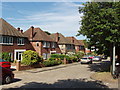
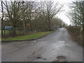
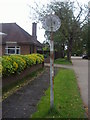
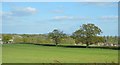
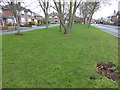
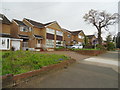
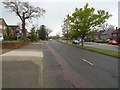
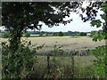
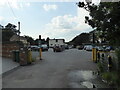
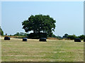
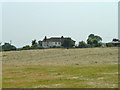
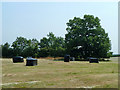
17 photos from this area
Area Information
Key information about the UB10 8EZ including its size, population, and administrative classification.
- Area Type
- Postcode
- Area Size
- 1.3 hectares
- Population
- 1498
- Population Density
- 3589 people/km²
House Prices in UB10 8EZ
31
Properties
£493,448
Average Sold Price
£167,000
Lowest Price
£740,000
Highest Price
Showing 31 properties
| Address | Type | Beds | Baths | Last Sale Price | Last Sale Date | |
|---|---|---|---|---|---|---|
| 39 Enstone Road, Ickenham, UB10 8EZ | house | 3 | 1 | £725,000 | Jun 2022 | |
| 4 Enstone Road, Ickenham, UB10 8EZ | Retail | 3 | 1 | £660,000 | Mar 2022 | |
| 12 Enstone Road, Ickenham, UB10 8EZ | house | - | - | £730,000 | Nov 2021 | |
| 43 Enstone Road, Ickenham, UB10 8EZ | Detached | 4 | 1 | £740,000 | Mar 2018 | |
| 15 Enstone Road, Ickenham, UB10 8EZ | Semi-detached | 3 | 1 | £625,000 | Mar 2017 | |
| 1 Enstone Road, Ickenham, UB10 8EZ | Semi-detached | 3 | 1 | £610,000 | Mar 2017 | |
| 17 Enstone Road, Ickenham, UB10 8EZ | Semi-detached | 4 | - | £645,000 | Jun 2016 | |
| 25 Enstone Road, Ickenham, UB10 8EZ | house | - | - | £540,000 | Jan 2016 | |
| 33 Enstone Road, Ickenham, UB10 8EZ | house | 5 | - | £610,000 | Jul 2015 | |
| 23 Enstone Road, Ickenham, UB10 8EZ | Semi-detached | 5 | 2 | £535,000 | Dec 2014 |
Page 1 of 4
Energy Efficiency in UB10 8EZ
Amenities
Schools
| Rank | School | Type | Entry gender | Ages |
|---|
Explore more schools in this area
Go to Schools tabDemographics
Household Size
Family (3-5 people)
most common
Accommodation Type
Houses
most common
Tenure
79
majority
Ethnic Group
White
most common
Religion
N/A
most common
Household Composition
N/A
most common
Age
47
median
Adults (30-64 years)
most common
Household Deprivation
N/A
with no deprivation
NS-SEC
50
in Lower managerial occupations
Explore more demographic insights in this area
Go to Demographics tabPlanning
Planning Constraints
- Flood RiskPremium
- Ramsar Wetland SitesPremium
- Area of Outstanding Natural BeautyPremium
- Protected Nature ReservePremium
- Protected WoodlandPremium