Area Overview for UB10 8DQ
Photos of UB10 8DQ
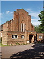
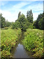
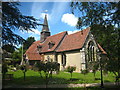
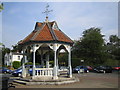
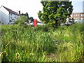
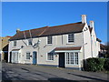
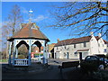
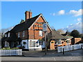
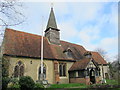
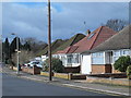
69 photos from this area
Area Information
Key information about the UB10 8DQ including its size, population, and administrative classification.
- Area Type
- Postcode
- Area Size
- 8137 m²
- Population
- 1422
- Population Density
- 3725 people/km²
House Prices in UB10 8DQ
24
Properties
£301,588
Average Sold Price
£139,750
Lowest Price
£729,950
Highest Price
Showing 24 properties
| Address | Type | Beds | Baths | Last Sale Price | Last Sale Date | |
|---|---|---|---|---|---|---|
| 71A Swakeleys Road, Ickenham, UB10 8DQ | Flat | - | - | £320,000 | Aug 2022 | |
| 77A Swakeleys Road, Ickenham, UB10 8DQ | Maisonette | - | - | £270,000 | Jan 2020 | |
| 91 Swakeleys Road, Ickenham, UB10 8DQ | house | - | - | £729,950 | Apr 2015 | |
| 67A Swakeleys Road, Ickenham, UB10 8DQ | Flat | 1 | 6 | £230,000 | Sep 2012 | |
| 75A Swakeleys Road, Ickenham, UB10 8DQ | Flat | - | - | £270,000 | Oct 2007 | |
| 83A Swakeleys Road, Ickenham, UB10 8DQ | Maisonette | 2 | 1 | £223,000 | Sep 2007 | |
| 83 Swakeleys Road, Ickenham, UB10 8DQ | Maisonette | - | - | £230,000 | Nov 2004 | |
| 89 Swakeleys Road, Ickenham, UB10 8DQ | house | - | - | £139,750 | Jan 1995 | |
| 81A Swakeleys Road, Ickenham, UB10 8DQ | Flat | 2 | 1 | - | - | |
| 81B Swakeleys Road, Ickenham, UB10 8DQ | Maisonette | 2 | 2 | - | - |
Page 1 of 3
Energy Efficiency in UB10 8DQ
Amenities
Schools
| Rank | School | Type | Entry gender | Ages |
|---|
Explore more schools in this area
Go to Schools tabDemographics
Household Size
One person
most common
Accommodation Type
Houses
most common
Tenure
71
majority
Ethnic Group
White
most common
Religion
N/A
most common
Household Composition
N/A
most common
Age
47
median
Adults (30-64 years)
most common
Household Deprivation
N/A
with no deprivation
NS-SEC
47
in Lower managerial occupations
Explore more demographic insights in this area
Go to Demographics tabPlanning
Planning Constraints
- Flood RiskPremium
- Ramsar Wetland SitesPremium
- Area of Outstanding Natural BeautyPremium
- Protected Nature ReservePremium
- Protected WoodlandPremium