Area Overview for UB10 0QX
Photos of UB10 0QX
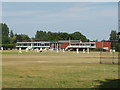
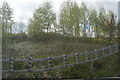
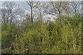
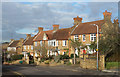
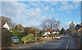
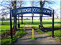
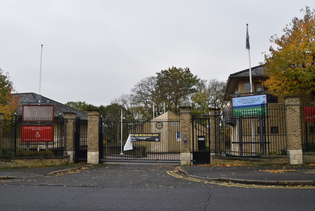
62 photos from this area
Area Information
Key information about the UB10 0QX including its size, population, and administrative classification.
- Area Type
- Postcode
- Area Size
- 3.9 hectares
- Population
- 1452
- Population Density
- 4319 people/km²
House Prices in UB10 0QX
64
Properties
£624,855
Average Sold Price
£499,995
Lowest Price
£1,365,000
Highest Price
Showing 64 properties
| Address | Type | Beds | Baths | Last Sale Price | Last Sale Date | |
|---|---|---|---|---|---|---|
| 38 Masterman Place, Uxbridge, UB10 0QX | Semi-detached | 4 | 2 | £685,000 | Nov 2023 | |
| 4 Masterman Place, Uxbridge, UB10 0QX | Semi-detached | 3 | 2 | £584,995 | Nov 2020 | |
| 2 Masterman Place, Uxbridge, UB10 0QX | Semi-detached | 3 | 2 | £584,995 | Oct 2020 | |
| 45 Masterman Place, Uxbridge, UB10 0QX | house | - | - | £630,000 | Apr 2020 | |
| 49 Masterman Place, Uxbridge, UB10 0QX | Terraced | 3 | 2 | £650,000 | Mar 2020 | |
| 13 Masterman Place, Uxbridge, UB10 0QX | house | - | - | £575,000 | Jan 2020 | |
| 47 Masterman Place, Uxbridge, UB10 0QX | house | - | - | £635,000 | Dec 2019 | |
| 7 Masterman Place, Uxbridge, UB10 0QX | Semi-detached | 3 | 2 | £599,995 | Nov 2019 | |
| 9 Masterman Place, Uxbridge, UB10 0QX | house | - | - | £599,995 | Nov 2019 | |
| 5 Masterman Place, Uxbridge, UB10 0QX | house | - | - | £599,995 | Nov 2019 |
Page 1 of 7
Energy Efficiency in UB10 0QX
Amenities
Schools
| Rank | School | Type | Entry gender | Ages |
|---|
Explore more schools in this area
Go to Schools tabDemographics
Household Size
Family (3-5 people)
most common
Accommodation Type
Flats
most common
Tenure
46
majority
Ethnic Group
White
most common
Religion
N/A
most common
Household Composition
N/A
most common
Age
47
median
Adults (30-64 years)
most common
Household Deprivation
N/A
with no deprivation
NS-SEC
42
in Lower managerial occupations
Explore more demographic insights in this area
Go to Demographics tabPlanning
Planning Constraints
- Flood RiskPremium
- Ramsar Wetland SitesPremium
- Area of Outstanding Natural BeautyPremium
- Protected Nature ReservePremium
- Protected WoodlandPremium