Area Overview for UB10 0FG
Photos of UB10 0FG
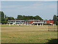
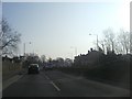
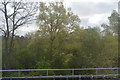
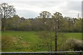
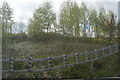
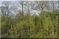
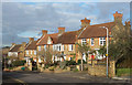
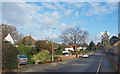
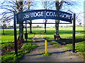
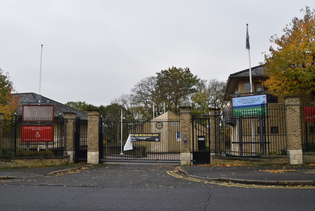
62 photos from this area
Area Information
Key information about the UB10 0FG including its size, population, and administrative classification.
- Area Type
- Postcode
- Area Size
- 8556 m²
- Population
- 1452
- Population Density
- 4319 people/km²
House Prices in UB10 0FG
49
Properties
£293,923
Average Sold Price
£218,000
Lowest Price
£335,000
Highest Price
Showing 49 properties
| Address | Type | Beds | Baths | Last Sale Price | Last Sale Date | |
|---|---|---|---|---|---|---|
| 48 Keith Park Road, Uxbridge, UB10 0FG | Flat | - | - | £315,000 | Sep 2023 | |
| 16 Keith Park Road, Uxbridge, UB10 0FG | Flat | - | - | £315,000 | Mar 2023 | |
| 10 Keith Park Road, Uxbridge, UB10 0FG | Flat | - | - | £315,000 | Mar 2023 | |
| 56 Keith Park Road, Uxbridge, UB10 0FG | Flat | 2 | 1 | £301,000 | Mar 2021 | |
| 24 Keith Park Road, Uxbridge, UB10 0FG | Flat | - | - | £315,000 | Sep 2020 | |
| 34 Keith Park Road, Uxbridge, UB10 0FG | Flat | - | - | £325,000 | Jul 2018 | |
| 38 Keith Park Road, Uxbridge, UB10 0FG | Flat | - | - | £320,000 | Mar 2017 | |
| 8 Keith Park Road, Uxbridge, UB10 0FG | Flat | - | - | £335,000 | Oct 2016 | |
| 44 Keith Park Road, Uxbridge, UB10 0FG | Flat | - | - | £330,000 | Mar 2016 | |
| 40 Keith Park Road, Uxbridge, UB10 0FG | Flat | - | - | £291,000 | Jun 2015 |
Page 1 of 5
Energy Efficiency in UB10 0FG
Amenities
Schools
| Rank | School | Type | Entry gender | Ages |
|---|
Explore more schools in this area
Go to Schools tabDemographics
Household Size
Family (3-5 people)
most common
Accommodation Type
Flats
most common
Tenure
46
majority
Ethnic Group
White
most common
Religion
N/A
most common
Household Composition
N/A
most common
Age
47
median
Adults (30-64 years)
most common
Household Deprivation
N/A
with no deprivation
NS-SEC
42
in Lower managerial occupations
Explore more demographic insights in this area
Go to Demographics tabPlanning
Planning Constraints
- Flood RiskPremium
- Ramsar Wetland SitesPremium
- Area of Outstanding Natural BeautyPremium
- Protected Nature ReservePremium
- Protected WoodlandPremium